Quantifying Geospatial in the Common Crawl Corpus
2406.04952
0
0

Abstract
Large language models (LLMs) exhibit emerging geospatial capabilities, stemming from their pre-training on vast unlabelled text datasets that are often derived from the Common Crawl corpus. However, the geospatial content within CC remains largely unexplored, impacting our understanding of LLMs' spatial reasoning. This paper investigates the prevalence of geospatial data in recent Common Crawl releases using Gemini, a powerful language model. By analyzing a sample of documents and manually revising the results, we estimate that between 1 in 5 and 1 in 6 documents contain geospatial information such as coordinates and street addresses. Our findings provide quantitative insights into the nature and extent of geospatial data within Common Crawl, and web crawl data in general. Furthermore, we formulate questions to guide future investigations into the geospatial content of available web crawl datasets and its influence on LLMs.
Create account to get full access
Overview
- This paper investigates the presence and usage of geospatial information in the Common Crawl corpus, a large web-crawled dataset used for natural language processing research.
- The authors develop methods to extract and quantify geospatial entities, such as locations and coordinates, from the corpus.
- They analyze the distribution and characteristics of this geospatial data to better understand the geographic coverage and biases within the Common Crawl corpus.
Plain English Explanation
The Common Crawl corpus is a massive dataset of web pages that researchers often use to develop and test natural language processing (NLP) models. However, not much is known about the geographic distribution and coverage of this dataset. The researchers in this paper set out to change that by developing techniques to identify and analyze the geospatial information present in the Common Crawl corpus.
They created methods to extract location names, latitude and longitude coordinates, and other geographic entities from the web pages in the corpus. By quantifying this geospatial data, they were able to get a better understanding of the geographic representation within the Common Crawl. For example, they found that the dataset has a strong bias towards certain regions, like the United States and Europe, while underrepresenting other parts of the world.
This information is valuable for researchers using the Common Crawl corpus, as it helps them account for potential geographic biases when training and evaluating their NLP models. It also highlights opportunities to improve the geographic diversity and coverage of the dataset to make it more representative of the global population.
Technical Explanation
The researchers developed a pipeline to extract and analyze geospatial information from the Common Crawl corpus. First, they used named entity recognition techniques to identify location names in the web page text. They then matched these location names to geographic coordinates using a gazetteer database.
Additionally, the researchers looked for explicit latitude and longitude coordinates mentioned in the web pages. They parsed these numeric values and associated them with the corresponding locations.
With this geospatial data, the researchers were able to conduct various analyses. They looked at the distribution of locations, both by frequency and geographic spread. They also investigated the relationship between location mentions and other metadata, such as language and domain. This allowed them to uncover biases and imbalances in the geographic coverage of the Common Crawl corpus.
The researchers found that the dataset is heavily skewed towards the United States and Europe, with a significant underrepresentation of locations in Asia, Africa, and South America. They also observed that geospatial information is more prevalent in certain types of web pages, like those related to travel and news.
Critical Analysis
The researchers acknowledge several limitations in their work. First, their methods for extracting geospatial entities may not be perfect, as location names can be ambiguous and some coordinates may be missing or inaccurate in the web pages. This could introduce errors or biases in their analysis.
Additionally, the researchers note that the geographic biases they observed may not necessarily reflect the true distribution of web content, but could also be influenced by factors like internet access and usage patterns around the world. Further research is needed to fully disentangle these effects.
Another potential concern is that the researchers only looked at explicit geospatial references in the text, and did not consider more implicit or contextual geographic information that may be present in the web pages. Incorporating such signals could provide a more comprehensive understanding of the geographic coverage.
Despite these limitations, this study provides valuable insights into the geographic characteristics of the Common Crawl corpus, which is an important dataset for many NLP tasks. The findings can inform researchers on the appropriate use and interpretation of this corpus, and highlight the need for more diverse and globally representative web-crawled datasets.
Conclusion
This paper presents a systematic analysis of the geospatial information present in the Common Crawl corpus, a widely used dataset for natural language processing research. By developing methods to extract and quantify location names, coordinates, and other geographic entities, the researchers were able to uncover significant biases in the geographic coverage of the corpus.
These insights are crucial for researchers using the Common Crawl corpus, as they need to be aware of potential geographic biases when training and evaluating their NLP models. The findings also suggest opportunities to improve the diversity and representation of the dataset, which could lead to more robust and inclusive natural language processing systems.
Overall, this work demonstrates the importance of understanding the underlying characteristics and limitations of the data used in AI research, and highlights the need for greater attention to issues of geographic and demographic fairness in the development of language technologies.
This summary was produced with help from an AI and may contain inaccuracies - check out the links to read the original source documents!
Related Papers

CC-GPX: Extracting High-Quality Annotated Geospatial Data from Common Crawl
Ilya Ilyankou, Meihui Wang, James Haworth, Stefano Cavazzi
0
0
The Common Crawl (CC) corpus is the largest open web crawl dataset containing 9.5+ petabytes of data captured since 2008. The dataset is instrumental in training large language models, and as such it has been studied for (un)desirable content, and distilled for smaller, domain-specific datasets. However, to our knowledge, no research has been dedicated to using CC as a source of annotated geospatial data. In this paper, we introduce an efficient pipeline to extract annotated user-generated tracks from GPX files found in CC, and the resulting multimodal dataset with 1,416 pairings of human-written descriptions and MultiLineString vector data from the 6 most recent CC releases. The dataset can be used to study people's outdoor activity patterns, the way people talk about their outdoor experiences, and for developing trajectory generation or track annotation models. Our reproducible code is available on GitHub: https://github.com/ilyankou/cc-gpx
5/30/2024
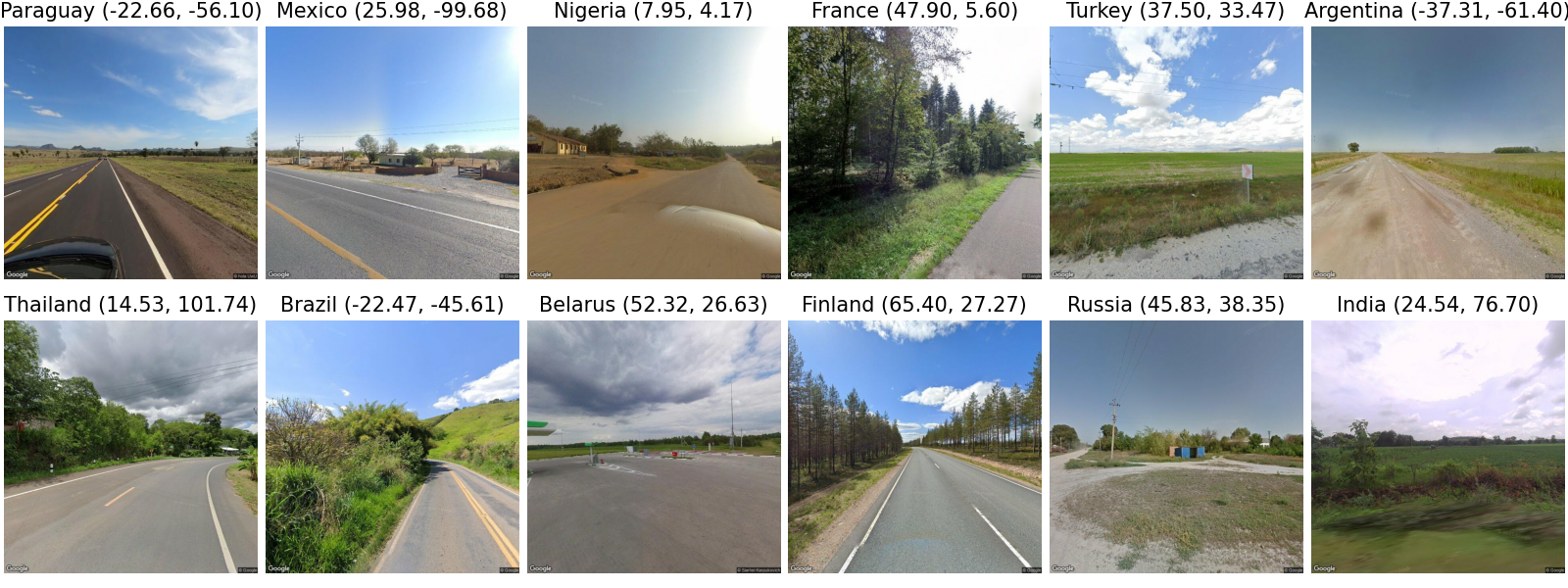
LLMGeo: Benchmarking Large Language Models on Image Geolocation In-the-wild
Zhiqiang Wang, Dejia Xu, Rana Muhammad Shahroz Khan, Yanbin Lin, Zhiwen Fan, Xingquan Zhu
0
0
Image geolocation is a critical task in various image-understanding applications. However, existing methods often fail when analyzing challenging, in-the-wild images. Inspired by the exceptional background knowledge of multimodal language models, we systematically evaluate their geolocation capabilities using a novel image dataset and a comprehensive evaluation framework. We first collect images from various countries via Google Street View. Then, we conduct training-free and training-based evaluations on closed-source and open-source multi-modal language models. we conduct both training-free and training-based evaluations on closed-source and open-source multimodal language models. Our findings indicate that closed-source models demonstrate superior geolocation abilities, while open-source models can achieve comparable performance through fine-tuning.
6/3/2024
🤔
Evaluating Spatial Understanding of Large Language Models
Yutaro Yamada, Yihan Bao, Andrew K. Lampinen, Jungo Kasai, Ilker Yildirim
0
0
Large language models (LLMs) show remarkable capabilities across a variety of tasks. Despite the models only seeing text in training, several recent studies suggest that LLM representations implicitly capture aspects of the underlying grounded concepts. Here, we explore LLM representations of a particularly salient kind of grounded knowledge -- spatial relationships. We design natural-language navigation tasks and evaluate the ability of LLMs, in particular GPT-3.5-turbo, GPT-4, and Llama2 series models, to represent and reason about spatial structures. These tasks reveal substantial variability in LLM performance across different spatial structures, including square, hexagonal, and triangular grids, rings, and trees. In extensive error analysis, we find that LLMs' mistakes reflect both spatial and non-spatial factors. These findings suggest that LLMs appear to capture certain aspects of spatial structure implicitly, but room for improvement remains.
4/16/2024

Do Sentence Transformers Learn Quasi-Geospatial Concepts from General Text?
Ilya Ilyankou, Aldo Lipani, Stefano Cavazzi, Xiaowei Gao, James Haworth
0
0
Sentence transformers are language models designed to perform semantic search. This study investigates the capacity of sentence transformers, fine-tuned on general question-answering datasets for asymmetric semantic search, to associate descriptions of human-generated routes across Great Britain with queries often used to describe hiking experiences. We find that sentence transformers have some zero-shot capabilities to understand quasi-geospatial concepts, such as route types and difficulty, suggesting their potential utility for routing recommendation systems.
4/8/2024