SubT-MRS Dataset: Pushing SLAM Towards All-weather Environments

0
📉
Sign in to get full access
Overview
- The paper presents a new real-world dataset called SubT-MRS designed to push the limits of Simultaneous Localization and Mapping (SLAM) algorithms in all-weather environments.
- SLAM is a fundamental task for numerous applications like autonomous navigation and exploration, but current SLAM solutions struggle to maintain robust performance.
- The key issues addressed are the lack of high-quality datasets with diverse all-weather conditions and a reliable metric for assessing SLAM robustness.
Plain English Explanation
The paper discusses a new dataset called SubT-MRS that is designed to be extremely challenging for SLAM algorithms. SLAM is a technology that allows robots and autonomous vehicles to navigate by simultaneously mapping their surroundings and localizing themselves within that map.
Despite many existing SLAM datasets, current SLAM solutions still have trouble maintaining reliable performance in the real world. One major problem is the lack of high-quality datasets that include diverse environmental conditions, like varying lighting, smoke, and dust. This makes it hard to test how robust SLAM algorithms really are.
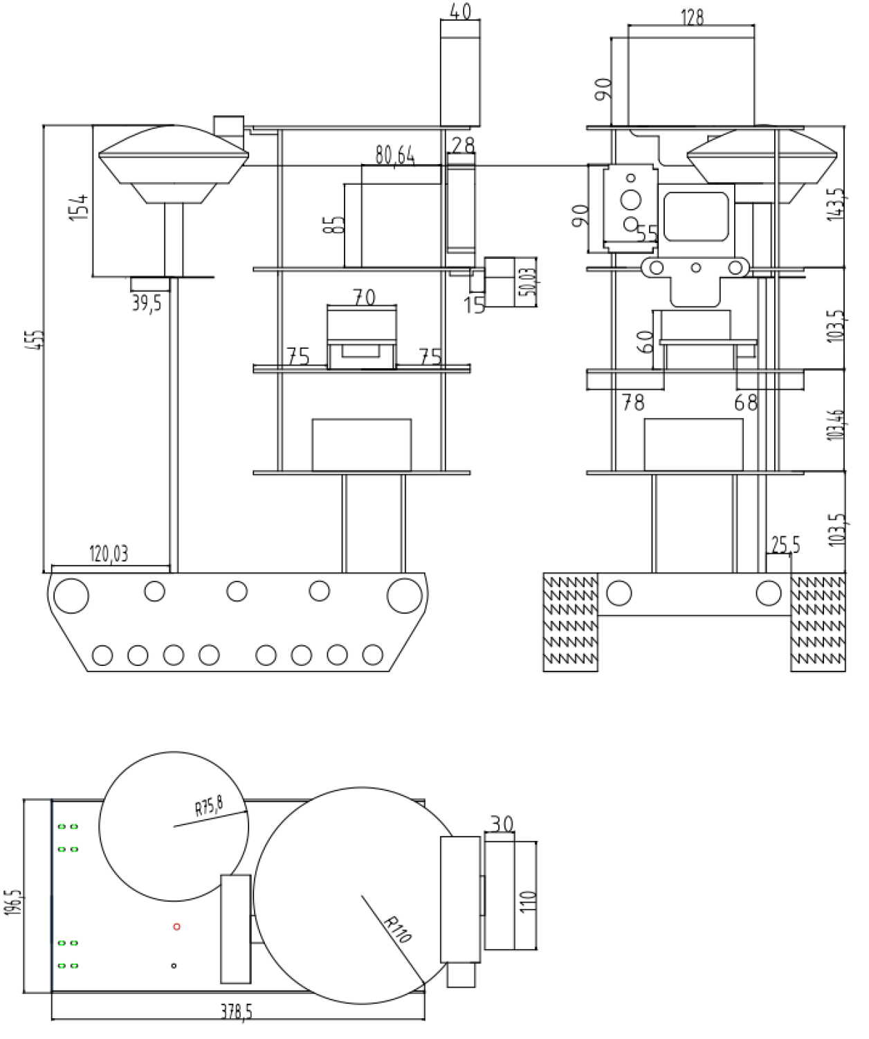
The SubT-MRS dataset aims to change that by providing a very realistic and diverse set of environments for SLAM systems to tackle. It includes over 30 different scenes, like structureless corridors and areas with poor visibility due to things like smoke. The dataset also includes data from multiple sensor types, such as LiDAR, cameras, and thermal imagers. These different sensors help SLAM algorithms get a more complete picture of the environment.
Additionally, the dataset includes robot platforms with various types of locomotion, like aerial, legged, and wheeled robots. This further challenges SLAM to work well across diverse robotic systems.
The goal is to provide a dataset that can really push the boundaries of SLAM performance and robustness, helping advance the state-of-the-art in this important technology.
Technical Explanation
The paper introduces the SubT-MRS dataset, which is designed to assess the robustness of Simultaneous Localization and Mapping (SLAM) algorithms in challenging, real-world environments. The dataset contains over 30 diverse scenes, including structureless corridors, varying lighting conditions, and perceptual obscurants like smoke and dust. It includes multimodal sensor data from LiDAR, fisheye cameras, IMUs, and thermal cameras, as well as data from aerial, legged, and wheeled robot platforms.
The researchers developed accuracy and robustness evaluation tracks for SLAM, along with novel robustness metrics to better assess the algorithms' performance. Comprehensive studies were performed using the dataset, revealing new observations, challenges, and opportunities for future SLAM research.
The key innovation of this work is the creation of an extremely challenging real-world SLAM dataset that goes beyond existing benchmarks in terms of environmental diversity and sensor modalities. This addresses a critical limitation in the field, where current SLAM solutions often struggle to maintain sustained and resilient performance in complex, all-weather conditions.
Critical Analysis
The SubT-MRS dataset represents a significant advancement in SLAM benchmarking, as it provides a more realistic and comprehensive evaluation environment compared to previous datasets. By including diverse scenes, sensor types, and robot platforms, the dataset challenges SLAM algorithms to operate robustly in the face of perceptual degradations and platform variations.
However, the paper acknowledges that the dataset is still limited to the specific environments and conditions captured during data collection. There may be additional real-world scenarios and edge cases that are not represented, which could further test the limits of SLAM algorithms. Continued expansion of the dataset, perhaps through community contributions, could help address this.
Additionally, while the paper introduces novel robustness metrics, there may be opportunities to develop even more comprehensive evaluation frameworks that capture additional aspects of SLAM performance, such as energy efficiency, computational load, or long-term drift. Ongoing research in this direction could lead to more holistic SLAM assessment and drive further advancements in the field.
Conclusion
The SubT-MRS dataset represents a significant step forward in SLAM benchmarking, providing a realistic and challenging environment for evaluating the robustness of SLAM algorithms. By including diverse all-weather conditions and multimodal sensor data, the dataset aims to push the boundaries of SLAM capabilities and identify new avenues for research and development.
The insights and observations gained from this work can inform the design of more resilient SLAM systems, ultimately supporting the advancement of autonomous navigation and exploration technologies. As the field continues to evolve, the SubT-MRS dataset and similar initiatives can play a crucial role in accelerating the progress of SLAM towards real-world deployment.
This summary was produced with help from an AI and may contain inaccuracies - check out the links to read the original source documents!
Related Papers
📉
0
SubT-MRS Dataset: Pushing SLAM Towards All-weather Environments
Shibo Zhao, Yuanjun Gao, Tianhao Wu, Damanpreet Singh, Rushan Jiang, Haoxiang Sun, Mansi Sarawata, Yuheng Qiu, Warren Whittaker, Ian Higgins, Yi Du, Shaoshu Su, Can Xu, John Keller, Jay Karhade, Lucas Nogueira, Sourojit Saha, Ji Zhang, Wenshan Wang, Chen Wang, Sebastian Scherer
Simultaneous localization and mapping (SLAM) is a fundamental task for numerous applications such as autonomous navigation and exploration. Despite many SLAM datasets have been released, current SLAM solutions still struggle to have sustained and resilient performance. One major issue is the absence of high-quality datasets including diverse all-weather conditions and a reliable metric for assessing robustness. This limitation significantly restricts the scalability and generalizability of SLAM technologies, impacting their development, validation, and deployment. To address this problem, we present SubT-MRS, an extremely challenging real-world dataset designed to push SLAM towards all-weather environments to pursue the most robust SLAM performance. It contains multi-degraded environments including over 30 diverse scenes such as structureless corridors, varying lighting conditions, and perceptual obscurants like smoke and dust; multimodal sensors such as LiDAR, fisheye camera, IMU, and thermal camera; and multiple locomotions like aerial, legged, and wheeled robots. We develop accuracy and robustness evaluation tracks for SLAM and introduced novel robustness metrics. Comprehensive studies are performed, revealing new observations, challenges, and opportunities for future research.
Read more5/31/2024
👁️
0
CARLA-Loc: Synthetic SLAM Dataset with Full-stack Sensor Setup in Challenging Weather and Dynamic Environments
Yuhang Han, Zhengtao Liu, Shuo Sun, Dongen Li, Jiawei Sun, Chengran Yuan, Marcelo H. Ang Jr
The robustness of SLAM (Simultaneous Localization and Mapping) algorithms under challenging environmental conditions is critical for the success of autonomous driving. However, the real-world impact of such conditions remains largely unexplored due to the difficulty of altering environmental parameters in a controlled manner. To address this, we introduce CARLA-Loc, a synthetic dataset designed for challenging and dynamic environments, created using the CARLA simulator. Our dataset integrates a variety of sensors, including cameras, event cameras, LiDAR, radar, and IMU, etc. with tuned parameters and modifications to ensure the realism of the generated data. CARLA-Loc comprises 7 maps and 42 sequences, each varying in dynamics and weather conditions. Additionally, a pipeline script is provided that allows users to generate custom sequences conveniently. We evaluated 5 visual-based and 4 LiDAR-based SLAM algorithms across different sequences, analyzing how various challenging environmental factors influence localization accuracy. Our findings demonstrate the utility of the CARLA-Loc dataset in validating the efficacy of SLAM algorithms under diverse conditions.
Read more4/19/2024
0
DIDLM:A Comprehensive Multi-Sensor Dataset with Infrared Cameras, Depth Cameras, LiDAR, and 4D Millimeter-Wave Radar in Challenging Scenarios for 3D Mapping
WeiSheng Gong, Chen He, KaiJie Su, QingYong Li
This study presents a comprehensive multi-sensor dataset designed for 3D mapping in challenging indoor and outdoor environments. The dataset comprises data from infrared cameras, depth cameras, LiDAR, and 4D millimeter-wave radar, facilitating exploration of advanced perception and mapping techniques. Integration of diverse sensor data enhances perceptual capabilities in extreme conditions such as rain, snow, and uneven road surfaces. The dataset also includes interactive robot data at different speeds indoors and outdoors, providing a realistic background environment. Slam comparisons between similar routes are conducted, analyzing the influence of different complex scenes on various sensors. Various SLAM algorithms are employed to process the dataset, revealing performance differences among algorithms in different scenarios. In summary, this dataset addresses the problem of data scarcity in special environments, fostering the development of perception and mapping algorithms for extreme conditions. Leveraging multi-sensor data including infrared, depth cameras, LiDAR, 4D millimeter-wave radar, and robot interactions, the dataset advances intelligent mapping and perception capabilities.Our dataset is available at https://github.com/GongWeiSheng/DIDLM.
Read more4/16/2024
💬
0
S3E: A Large-scale Multimodal Dataset for Collaborative SLAM
Dapeng Feng, Yuhua Qi, Shipeng Zhong, Zhiqiang Chen, Qiming Chen, Hongbo Chen, Jin Wu, Jun Ma
The burgeoning demand for collaborative robotic systems to execute complex tasks collectively has intensified the research community's focus on advancing simultaneous localization and mapping (SLAM) in a cooperative context. Despite this interest, the scalability and diversity of existing datasets for collaborative trajectories remain limited, especially in scenarios with constrained perspectives where the generalization capabilities of Collaborative SLAM (C-SLAM) are critical for the feasibility of multi-agent missions. Addressing this gap, we introduce S3E, an expansive multimodal dataset. Captured by a fleet of unmanned ground vehicles traversing four distinct collaborative trajectory paradigms, S3E encompasses 13 outdoor and 5 indoor sequences. These sequences feature meticulously synchronized and spatially calibrated data streams, including 360-degree LiDAR point cloud, high-resolution stereo imagery, high-frequency inertial measurement units (IMU), and Ultra-wideband (UWB) relative observations. Our dataset not only surpasses previous efforts in scale, scene diversity, and data intricacy but also provides a thorough analysis and benchmarks for both collaborative and individual SLAM methodologies. For access to the dataset and the latest information, please visit our repository at https://pengyu-team.github.io/S3E.
Read more7/23/2024