Characterizing segregation in blast rock piles a deep-learning approach leveraging aerial image analysis

0
🖼️
Sign in to get full access
Overview
- This study introduces an advanced image analysis methodology to characterize the segregation of rock fragments in quarry piles.
- Segregation is a phenomenon where particle sizes vary significantly along the gradient of a quarry pile, presenting challenges for optimizing quarry material storage and handling.
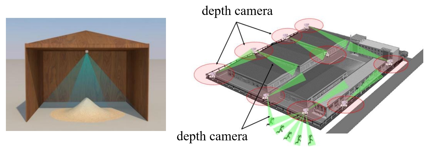
- The researchers used drone-captured imagery and an enhanced Unet semantic segmentation model with an expansion-based post-processing technique to accurately delineate detailed rock fragment size distributions.
Plain English Explanation
Quarries, where rock materials are extracted, play a critical role in various engineering applications. However, a phenomenon known as segregation can occur in quarry piles, where the sizes of the rock fragments vary considerably from the top to the bottom of the pile. This can make it challenging to effectively store and manage the quarry material.
To address this issue, the researchers in this study used advanced image analysis techniques to characterize the segregation of rock fragments in quarry piles. They captured drone imagery of the quarry slope and applied a specialized machine learning model, called an enhanced Unet semantic segmentation model, to accurately identify and measure the size of the individual rock fragments. This allowed them to understand how the sizes of the rock fragments varied from the top to the bottom of the quarry pile.
By using this novel approach to digital lithological mapping, the researchers were able to gain valuable insights into the degree of segregation in the quarry pile. This information can help quarry managers optimize their resource management and operational decisions, leading to more efficient and effective quarry operations.
Technical Explanation
The researchers in this study used a combination of drone-captured imagery and an enhanced Unet semantic segmentation model to characterize the segregation of rock fragments in a quarry pile. The Unet model, which is a type of convolutional neural network, was used to accurately delineate the boundaries of individual rock fragments in the images. This allowed the researchers to quantify the size distribution of the rock fragments within different vertical sections of the quarry slope.
The quarry slope was divided into four vertical sections, and the size distribution of the rock fragments in each section was determined through an ellipsoid shape approximation. The results showed a clear vertical segregation pattern, with finer particles concentrated in the upper slope regions and coarser particles in the lower regions.
To further analyze the degree of segregation, the researchers used relative characteristic diameters, which provided a more detailed understanding of the spatial heterogeneity in fragment size. This information can be used to inform resource management and operational decisions in quarry management, potentially leading to more efficient and effective quarry operations.
Critical Analysis
The researchers in this study have presented a comprehensive and innovative approach to characterizing the segregation of rock fragments in quarry piles. The use of drone-captured imagery and advanced image analysis techniques, such as the enhanced Unet semantic segmentation model, represents a significant advancement in the field.
One potential limitation of the study is the reliance on a single quarry site for the analysis. While the researchers have demonstrated the effectiveness of their methodology, it would be valuable to see the approach applied to a broader range of quarry sites to assess its generalizability.
Additionally, the study does not delve into the specific factors that contribute to the observed segregation patterns. While the researchers have provided insights into the spatial heterogeneity of fragment sizes, further investigation into the underlying physical and geological processes that drive this phenomenon could lead to a deeper understanding and potentially more effective mitigation strategies.
Overall, this research represents an important step forward in the characterization of quarry material segregation, and the techniques outlined have the potential to significantly improve resource management and operational decision-making in the quarry industry.
Conclusion
This study introduces an advanced image analysis methodology to characterize the segregation of rock fragments in quarry piles. By leveraging drone-captured imagery and an enhanced Unet semantic segmentation model, the researchers were able to accurately delineate the size distributions of individual rock fragments across different vertical sections of the quarry slope.
The findings reveal pronounced vertical segregation patterns, with finer particles concentrated in the upper slope regions and coarser particles in the lower regions. The use of relative characteristic diameters provided further insights into the degree of segregation, highlighting the spatial heterogeneity in fragment size.
The techniques outlined in this study offer a scalable and accurate method for assessing fragment size distribution, with the potential to better inform resource management and operational decisions in quarry management. As the demand for quarry materials continues to grow, this research represents an important contribution towards improving the efficiency and sustainability of the quarry industry.
This summary was produced with help from an AI and may contain inaccuracies - check out the links to read the original source documents!
Related Papers
🖼️
0
Characterizing segregation in blast rock piles a deep-learning approach leveraging aerial image analysis
Chengeng Liu, Sihong Liu, Chaomin Shen, Yupeng Gao, Yuxuan Liu
Blasted rock material serves a critical role in various engineering applications, yet the phenomenon of segregation-where particle sizes vary significantly along the gradient of a quarry pile-presents challenges for optimizing quarry material storage and handling. This study introduces an advanced image analysis methodology to characterize such segregation of rock fragments. The accurate delineation of detailed rock fragment size distributions was achieved through the analysis of drone-captured imagery, coupled with the application of an enhanced Unet semantic segmentation model integrated with an expansion-based post-processing technique. The quarry slope was stratified into four vertical sections, with the size distribution of each section quantified via ellipsoid shape approximations. Our results disclose pronounced vertical segregation patterns, with finer particles concentrated in the upper slope regions and coarser particles in the lower. Utilizing relative characteristic diameters, we offered insight into the degree of segregation, thereby illustrating the spatial heterogeneity in fragment size more clearly. The techniques outlined in this study deliver a scalable and accurate method for assessing fragment size distribution, with the potential to better inform resource management and operational decisions in quarry management.
Read more6/7/2024

0
Unsupervised machine learning for data-driven classification of rock mass using drilling data: How can a data-driven system handle limitations in existing rock mass classification systems?
T. F. Hansen, A. Aarset
Rock mass classification systems are crucial for assessing stability and risk in underground construction globally and guiding support and excavation design. However, systems developed primarily in the 1970s lack access to modern high-resolution data and advanced statistical techniques, limiting their effectiveness as decision-support systems. Initially, we outline the limitations observed in this context and later describe how a data-driven system, based on drilling data as detailed in this study, can overcome these limitations. Using extracted statistical information from thousands of MWD-data values in one-meter sections of a full tunnel profile, thus working as a signature of the rock mass, we have demonstrated that it is possible to form well-defined clusters that can act as a foundational basis for various rock mass classification systems. We reduced the dimensionality of 48-value vectors using nonlinear manifold learning techniques (UMAP) and linear principal component analysis (PCA) to enhance clustering. Unsupervised machine learning methods (HDBSCAN, Agglomerative Clustering, K-means) were employed to cluster the data, with hyperparameters optimised through multi-objective Bayesian optimisation for effective clustering. Using domain knowledge, we experienced improved clustering and system tuning opportunities in adding extra features to core clusters of MWD-data. We structured and correlated these clusters with physical rock mass properties, including labels of rock type and rock quality, and analysed cumulative distributions of key MWD-parameters for rock mass assessment to determine if clusters meaningfully differentiate rock masses. The ability of MWD data to form distinct rock mass clusters suggests substantial potential for future classification systems grounded in this objective, data-driven methodology, free from human bias.
Read more5/7/2024
0
DIVESPOT: Depth Integrated Volume Estimation of Pile of Things Based on Point Cloud
Yiran Ling, Rongqiang Zhao, Yixuan Shen, Dongbo Li, Jing Jin, Jie Liu
Non-contact volume estimation of pile-type objects has considerable potential in industrial scenarios, including grain, coal, mining, and stone materials. However, using existing method for these scenarios is challenged by unstable measurement poses, significant light interference, the difficulty of training data collection, and the computational burden brought by large piles. To address the above issues, we propose the Depth Integrated Volume EStimation of Pile Of Things (DIVESPOT) based on point cloud technology in this study. For the challenges of unstable measurement poses, the point cloud pose correction and filtering algorithm is designed based on the Random Sample Consensus (RANSAC) and the Hierarchical Density-Based Spatial Clustering of Applications with Noise (HDBSCAN). To cope with light interference and to avoid the relying on training data, the height-distribution-based ground feature extraction algorithm is proposed to achieve RGB-independent. To reduce the computational burden, the storage space optimizing strategy is developed, such that accurate estimation can be acquired by using compressed voxels. Experimental results demonstrate that the DIVESPOT method enables non-data-driven, RGB-independent segmentation of pile point clouds, maintaining a volume calculation relative error within 2%. Even with 90% compression of the voxel mesh, the average error of the results can be under 3%.
Read more7/9/2024

0
Super-Resolution Analysis for Landfill Waste Classification
Matias Molina, Rita P. Ribeiro, Bruno Veloso, Jo~ao Gama
Illegal landfills are a critical issue due to their environmental, economic, and public health impacts. This study leverages aerial imagery for environmental crime monitoring. While advances in artificial intelligence and computer vision hold promise, the challenge lies in training models with high-resolution literature datasets and adapting them to open-access low-resolution images. Considering the substantial quality differences and limited annotation, this research explores the adaptability of models across these domains. Motivated by the necessity for a comprehensive evaluation of waste detection algorithms, it advocates cross-domain classification and super-resolution enhancement to analyze the impact of different image resolutions on waste classification as an evaluation to combat the proliferation of illegal landfills. We observed performance improvements by enhancing image quality but noted an influence on model sensitivity, necessitating careful threshold fine-tuning.
Read more4/3/2024