On-the-Go Tree Detection and Geometric Traits Estimation with Ground Mobile Robots in Fruit Tree Groves
2404.02516
0
0
Abstract
By-tree information gathering is an essential task in precision agriculture achieved by ground mobile sensors, but it can be time- and labor-intensive. In this paper we present an algorithmic framework to perform real-time and on-the-go detection of trees and key geometric characteristics (namely, width and height) with wheeled mobile robots in the field. Our method is based on the fusion of 2D domain-specific data (normalized difference vegetation index [NDVI] acquired via a red-green-near-infrared [RGN] camera) and 3D LiDAR point clouds, via a customized tree landmark association and parameter estimation algorithm. The proposed system features a multi-modal and entropy-based landmark correspondences approach, integrated into an underlying Kalman filter system to recognize the surrounding trees and jointly estimate their spatial and vegetation-based characteristics. Realistic simulated tests are used to evaluate our proposed algorithm's behavior in a variety of settings. Physical experiments in agricultural fields help validate our method's efficacy in acquiring accurate by-tree information on-the-go and in real-time by employing only onboard computational and sensing resources.
Create account to get full access
Overview
- Researchers developed a system to automatically detect and estimate the geometric traits of fruit trees using ground mobile robots in orchards.
- The system combines 3D sensors, computer vision, and machine learning to locate trees and measure properties like height, diameter, and canopy volume.
- This information can help farmers optimize orchard management, such as pruning, irrigation, and harvesting.
Plain English Explanation
The researchers created a technology that allows ground-based robots to automatically find and measure fruit trees as they move through orchards. The robots use 3D cameras and computer algorithms to identify the location of each tree and then calculate its size, shape, and other important characteristics.
This is useful for farmers because it gives them detailed data on their orchard without requiring intensive manual inspections. Farmers can use this information to make better decisions about how to care for the trees, like how much to prune them or how much water they need. Automating these measurements also saves time and labor compared to having workers manually inspect each tree.
Overall, this technology provides a more efficient way for farmers to gather crucial data about the health and productivity of their orchards. By equipping robots to gather this information on their own, farmers can optimize their orchard management and improve their crop yields.
Technical Explanation
The paper presents a system for on-the-go tree detection and geometric trait estimation using ground mobile robots in fruit tree groves. The key components include:
-
3D Sensing: The robots are equipped with 3D sensors, such as LiDAR or RGB-D cameras, to capture detailed point cloud data of the orchard environment.
-
Tree Detection: Computer vision algorithms are used to analyze the 3D point clouds and identify the location and extent of individual tree canopies. This involves techniques like ground plane estimation, vegetation segmentation, and tree structure modeling.
-
Geometric Trait Estimation: Once a tree is detected, the system estimates its geometric properties, including height, diameter, and canopy volume. This is done by fitting parametric models to the 3D data.
The authors evaluate their system on real-world orchard datasets, demonstrating high accuracy in both tree detection and geometric trait estimation compared to manual ground truth measurements. This data can provide valuable insights to help farmers optimize practices like pruning, irrigation, and harvesting.
Critical Analysis
The paper presents a robust and practical solution for automating tree measurement in orchards, which is an important task for precision agriculture. The authors have clearly put significant effort into developing accurate algorithms for 3D tree detection and modeling.
However, the paper does mention some limitations that could be addressed in future work. For example, the system may struggle with occluded or overlapping trees, which could lead to missed detections or inaccurate measurements. Additionally, the performance could be sensitive to environmental factors like weather and lighting conditions.
It would also be interesting to see how this system could be integrated with other agricultural technologies, such as autonomous tractors or drones, to create a more comprehensive precision farming solution. Exploring the economic benefits and cost-effectiveness of deploying this technology on a larger scale would also be a valuable area for further research.
Overall, this paper makes an important contribution to the field of agricultural robotics and demonstrates the potential for automating key orchard management tasks. With continued development and real-world deployment, this technology could have a significant impact on the efficiency and sustainability of fruit production.
Conclusion
The researchers have developed a promising system that allows ground-based robots to automatically detect and measure the geometric properties of fruit trees in orchards. By combining 3D sensors, computer vision, and machine learning, the system can provide farmers with detailed data on the size, shape, and location of each tree without the need for manual inspections.
This information can help farmers make more informed decisions about pruning, irrigation, and other orchard management practices, ultimately leading to improved crop yields and efficiency. While the current system has some limitations, the authors have demonstrated its strong performance and outlined avenues for future development.
Overall, this research represents an important step forward in the integration of robotics and automation into precision agriculture, with the potential to transform how farmers monitor and care for their orchards.
This summary was produced with help from an AI and may contain inaccuracies - check out the links to read the original source documents!
Related Papers
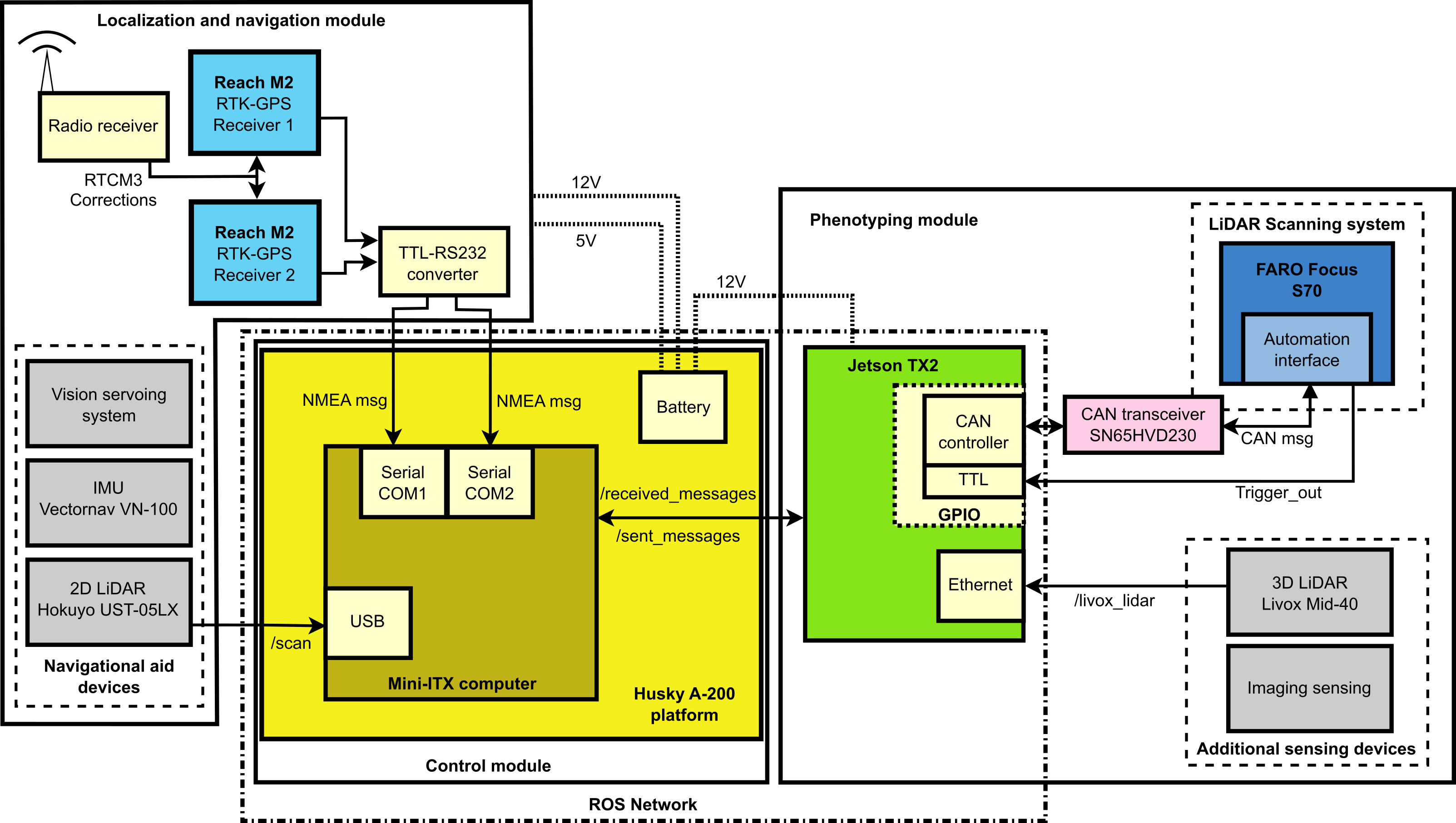
A Ground Mobile Robot for Autonomous Terrestrial Laser Scanning-Based Field Phenotyping
Javier Rodriguez-Sanchez, Kyle Johnsen, Changying Li
0
0
Traditional field phenotyping methods are often manual, time-consuming, and destructive, posing a challenge for breeding progress. To address this bottleneck, robotics and automation technologies offer efficient sensing tools to monitor field evolution and crop development throughout the season. This study aimed to develop an autonomous ground robotic system for LiDAR-based field phenotyping in plant breeding trials. A Husky platform was equipped with a high-resolution three-dimensional (3D) laser scanner to collect in-field terrestrial laser scanning (TLS) data without human intervention. To automate the TLS process, a 3D ray casting analysis was implemented for optimal TLS site planning, and a route optimization algorithm was utilized to minimize travel distance during data collection. The platform was deployed in two cotton breeding fields for evaluation, where it autonomously collected TLS data. The system provided accurate pose information through RTK-GNSS positioning and sensor fusion techniques, with average errors of less than 0.6 cm for location and 0.38$^{circ}$ for heading. The achieved localization accuracy allowed point cloud registration with mean point errors of approximately 2 cm, comparable to traditional TLS methods that rely on artificial targets and manual sensor deployment. This work presents an autonomous phenotyping platform that facilitates the quantitative assessment of plant traits under field conditions of both large agricultural fields and small breeding trials to contribute to the advancement of plant phenomics and breeding programs.
4/9/2024
🎯
ForestTrav: Accurate, Efficient and Deployable Forest Traversability Estimation for Autonomous Ground Vehicles
Fabio Ruetz, Nicholas Lawrance, Emili Hern'andez, Paulo Borges, Thierry Peynot
0
0
Autonomous navigation in unstructured vegetated environments remains an open challenge. To successfully operate in these settings, ground vehicles must assess the traversability of the environment and determine which vegetation is pliable enough to push through. In this work, we propose a novel method that combines a high-fidelity and feature-rich 3D voxel representation while leveraging the structural context and sparseness of SCNN's to assess Traversability Estimation (TE) in densely vegetated environments. The proposed method is thoroughly evaluated on an accurately-labeled real-world data set that we provide to the community. It is shown to outperform state-of-the-art methods by a significant margin (0.59 vs. 0.39 MCC score at 0.1m voxel resolution) in challenging scenes and to generalize to unseen environments. In addition, the method is economical in the amount of training data and training time required: a model is trained in minutes on a desktop computer. We show that by exploiting the context of the environment, our method can use different feature combinations with only limited performance variations. For example, our approach can be used with lidar-only features, whilst still assessing complex vegetated environments accurately, which was not demonstrated previously in the literature in such environments. In addition, we propose an approach to assess a traversability estimator's sensitivity to information quality and show our method's sensitivity is low.
5/16/2024

GPS-free Autonomous Navigation in Cluttered Tree Rows with Deep Semantic Segmentation
Alessandro Navone, Mauro Martini, Marco Ambrosio, Andrea Ostuni, Simone Angarano, Marcello Chiaberge
0
0
Segmentation-based autonomous navigation has recently been presented as an appealing approach to guiding robotic platforms through crop rows without requiring perfect GPS localization. Nevertheless, current techniques are restricted to situations where the distinct separation between the plants and the sky allows for the identification of the row's center. However, tall, dense vegetation, such as high tree rows and orchards, is the primary cause of GPS signal blockage. In this study, we increase the overall robustness and adaptability of the control algorithm by extending the segmentation-based robotic guiding to those cases where canopies and branches occlude the sky and prevent the utilization of GPS and earlier approaches. An efficient Deep Neural Network architecture has been used to address semantic segmentation, performing the training with synthetic data only. Numerous vineyards and tree fields have undergone extensive testing in both simulation and real-world to show the solution's competitive benefits.
4/9/2024

A real-time, hardware agnostic framework for close-up branch reconstruction using RGB data
Alexander You, Aarushi Mehta, Luke Strohbehn, Jochen Hemming, Cindy Grimm, Joseph R. Davidson
0
0
Creating accurate 3D models of tree topology is an important task for tree pruning. The 3D model is used to decide which branches to prune and then to execute the pruning cuts. Previous methods for creating 3D tree models have typically relied on point clouds, which are often computationally expensive to process and can suffer from data defects, especially with thin branches. In this paper, we propose a method for actively scanning along a primary tree branch, detecting secondary branches to be pruned, and reconstructing their 3D geometry using just an RGB camera mounted on a robot arm. We experimentally validate that our setup is able to produce primary branch models with 4-5 mm accuracy and secondary branch models with 15 degrees orientation accuracy with respect to the ground truth model. Our framework is real-time and can run up to 10 cm/s with no loss in model accuracy or ability to detect secondary branches.
6/19/2024