Learning Semantic Segmentation with Query Points Supervision on Aerial Images

0
💬
Sign in to get full access
Overview
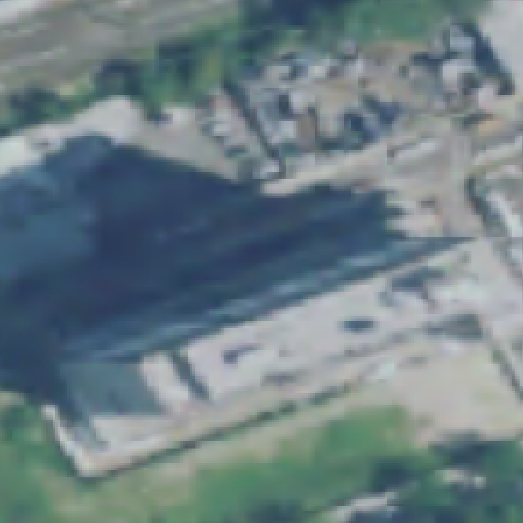
- Semantic segmentation is crucial for analyzing high-resolution satellite images in remote sensing.
- Deep learning has significantly improved satellite image segmentation, but most methods require expensive, time-consuming manual annotation.
- This work presents a weakly supervised learning approach that only needs point-level annotations instead of full mask labels.
- The proposed method generates superpixels to extend the point labels and train segmentation models on the partially labeled images.
- Experiments show competitive performance compared to fully supervised training while reducing annotation effort.
Plain English Explanation
When analyzing high-resolution satellite images, it's important to be able to identify and separate different meaningful regions, like roads, buildings, vegetation, and so on. This process is called semantic segmentation. Recent advancements in deep learning have made this task much more accurate, but the downside is that these deep learning models typically require a lot of labeled training data.
Labeling satellite images pixel-by-pixel is an expensive and time-consuming process, as it involves having human experts carefully outline all the different objects and regions in each image. This research paper presents a new approach that can train accurate semantic segmentation models while only requiring users to label a few key points in each image, instead of the full pixel-level annotations.
The key idea is to use superpixels - groups of similar neighboring pixels - and extend the sparse point-level labels to cover the entire superpixel regions. This provides a sort of "pseudo-label" that can be used to train the segmentation model, without needing the full detailed masks.
Through experiments, the researchers show that this weakly supervised approach can achieve performance on par with fully supervised methods, but at a fraction of the annotation cost and effort. This could make satellite image analysis much more accessible and practical for a wider range of applications.
Technical Explanation
The researchers propose a weakly supervised learning algorithm for semantic segmentation of satellite images. Rather than requiring full pixel-level annotations, their approach only needs users to label a few key points in each image.
The overall process is as follows:
- Generate superpixels - groups of neighboring pixels with similar visual characteristics.
- Extend the sparse point-level annotations to cover the corresponding superpixel regions, creating "pseudo-labels".
- Train semantic segmentation models using the partially labeled images and superpixel pseudo-labels.
Experiments were conducted on an aerial image dataset, comparing the weakly supervised approach to fully supervised training. The results show that the proposed method can achieve competitive performance while significantly reducing the manual annotation effort required.
The researchers benchmark their approach on different semantic segmentation architectures, demonstrating its flexibility and broad applicability. The code for their method is publicly available, making it accessible for further research and real-world deployment.
Critical Analysis
The key strength of this research is the ability to train accurate semantic segmentation models with much less manual annotation work. This is a significant practical advantage, as obtaining detailed pixel-level labels for satellite imagery is notoriously difficult and expensive.
However, one potential limitation is that the quality of the pseudo-labels generated from the sparse point annotations may not be as reliable as full mask labels. The researchers acknowledge this, and suggest exploring more advanced superpixel generation and label propagation techniques to address this.
Additionally, the experiments were conducted on a single aerial image dataset, so further testing on a wider range of satellite imagery and applications would be valuable to fully assess the generalization capabilities of the method. [Expanding the evaluation to include other challenging scenarios, such as poor weather conditions or varying sensor perspectives, would also help demonstrate the robustness of the approach.
Overall, this research presents a promising direction for making satellite image segmentation more practical and accessible through weakly supervised learning. Further refinements and broader validation could lead to significant real-world impact in remote sensing and Earth observation applications.
Conclusion
This paper introduces a weakly supervised learning approach for semantic segmentation of satellite imagery. By only requiring sparse point-level annotations instead of full pixel-level masks, the method significantly reduces the manual effort needed to train accurate segmentation models.
The key innovation is the use of superpixels to extend the sparse annotations into pseudo-labels that can be used to train deep learning segmentation architectures. Experiments show this approach can achieve performance on par with fully supervised methods, while drastically cutting the annotation cost and time.
This research has the potential to make satellite image analysis more accessible and practical for a wide range of applications, from urban planning to environmental monitoring. By lowering the barrier to entry, the proposed weakly supervised technique could accelerate the adoption of advanced remote sensing technologies in both industry and academia.
This summary was produced with help from an AI and may contain inaccuracies - check out the links to read the original source documents!
Related Papers
💬
0
Learning Semantic Segmentation with Query Points Supervision on Aerial Images
Santiago Rivier, Carlos Hinojosa, Silvio Giancola, Bernard Ghanem
Semantic segmentation is crucial in remote sensing, where high-resolution satellite images are segmented into meaningful regions. Recent advancements in deep learning have significantly improved satellite image segmentation. However, most of these methods are typically trained in fully supervised settings that require high-quality pixel-level annotations, which are expensive and time-consuming to obtain. In this work, we present a weakly supervised learning algorithm to train semantic segmentation algorithms that only rely on query point annotations instead of full mask labels. Our proposed approach performs accurate semantic segmentation and improves efficiency by significantly reducing the cost and time required for manual annotation. Specifically, we generate superpixels and extend the query point labels into those superpixels that group similar meaningful semantics. Then, we train semantic segmentation models supervised with images partially labeled with the superpixel pseudo-labels. We benchmark our weakly supervised training approach on an aerial image dataset and different semantic segmentation architectures, showing that we can reach competitive performance compared to fully supervised training while reducing the annotation effort. The code of our proposed approach is publicly available at: https://github.com/santiago2205/LSSQPS.
Read more8/7/2024
🤷
0
Applying Unsupervised Semantic Segmentation to High-Resolution UAV Imagery for Enhanced Road Scene Parsing
Zihan Ma, Yongshang Li, Ronggui Ma, Chen Liang
There are two challenges presented in parsing road scenes from UAV images: the complexity of processing high-resolution images and the dependency on extensive manual annotations required by traditional supervised deep learning methods to train robust and accurate models. In this paper, a novel unsupervised road parsing framework that leverages advancements in vision language models with fundamental computer vision techniques is introduced to address these critical challenges. Our approach initiates with a vision language model that efficiently processes ultra-high resolution images to rapidly identify road regions of interest. Subsequent application of the vision foundation model, SAM, generates masks for these regions without requiring category information. A self-supervised learning network then processes these masked regions to extract feature representations, which are clustered using an unsupervised algorithm that assigns unique IDs to each feature cluster. The masked regions are combined with the corresponding IDs to generate initial pseudo-labels, which initiate an iterative self-training process for regular semantic segmentation. Remarkably, the proposed method achieves a mean Intersection over Union (mIoU) of 89.96% on the development dataset without any manual annotation, demonstrating extraordinary flexibility by surpassing the limitations of human-defined categories, and autonomously acquiring knowledge of new categories from the dataset itself.
Read more4/30/2024
0
Task Specific Pretraining with Noisy Labels for Remote sensing Image Segmentation
Chenying Liu, Conrad M Albrecht, Yi Wang, Xiao Xiang Zhu
Compared to supervised deep learning, self-supervision provides remote sensing a tool to reduce the amount of exact, human-crafted geospatial annotations. While image-level information for unsupervised pretraining efficiently works for various classification downstream tasks, the performance on pixel-level semantic segmentation lags behind in terms of model accuracy. On the contrary, many easily available label sources (e.g., automatic labeling tools and land cover land use products) exist, which can provide a large amount of noisy labels for segmentation model training. In this work, we propose to exploit noisy semantic segmentation maps for model pretraining. Our experiments provide insights on robustness per network layer. The transfer learning settings test the cases when the pretrained encoders are fine-tuned for different label classes and decoders. The results from two datasets indicate the effectiveness of task-specific supervised pretraining with noisy labels. Our findings pave new avenues to improved model accuracy and novel pretraining strategies for efficient remote sensing image segmentation.
Read more6/11/2024

0
A Point-Neighborhood Learning Framework for Nasal Endoscope Image Segmentation
Pengyu Jie, Wanquan Liu, Chenqiang Gao, Yihui Wen, Rui He, Pengcheng Li, Jintao Zhang, Deyu Meng
The lesion segmentation on endoscopic images is challenging due to its complex and ambiguous features. Fully-supervised deep learning segmentation methods can receive good performance based on entirely pixel-level labeled dataset but greatly increase experts' labeling burden. Semi-supervised and weakly supervised methods can ease labeling burden, but heavily strengthen the learning difficulty. To alleviate this difficulty, weakly semi-supervised segmentation adopts a new annotation protocol of adding a large number of point annotation samples into a few pixel-level annotation samples. However, existing methods only mine points' limited information while ignoring reliable prior surrounding the point annotations. In this paper, we propose a weakly semi-supervised method called Point-Neighborhood Learning (PNL) framework. To mine the prior of the pixels surrounding the annotated point, we transform a single-point annotation into a circular area named a point-neighborhood. We propose point-neighborhood supervision loss and pseudo-label scoring mechanism to enhance training supervision. Point-neighborhoods are also used to augment the data diversity. Our method greatly improves performance without changing the structure of segmentation network. Comprehensive experiments show the superiority of our method over the other existing methods, demonstrating its effectiveness in point-annotated medical images. The project code will be available on: https://github.com/ParryJay/PNL.
Read more5/31/2024