RescueNet: A High Resolution UAV Semantic Segmentation Benchmark Dataset for Natural Disaster Damage Assessment

0
🌿
Sign in to get full access
Overview
- Advancements in computer vision and deep learning have enabled better scene understanding to assist rescue teams in assessing disaster damage.
- The researchers present a new dataset called RescueNet that provides high-resolution post-disaster imagery and comprehensive semantic annotations.
- RescueNet aims to facilitate comprehensive scene understanding in the aftermath of natural disasters like Hurricane Michael.
- The dataset includes detailed pixel-level annotations for buildings, roads, trees, and other important elements - going beyond existing datasets.
- The researchers evaluate the utility of RescueNet by applying state-of-the-art segmentation models, demonstrating its value for natural disaster damage assessment.
Plain English Explanation
The paper discusses how recent progress in computer vision and deep learning techniques has allowed for better understanding of scenes, which can help rescue teams more accurately assess damage after natural disasters. The researchers introduce a new dataset called RescueNet that contains high-resolution photos taken after Hurricane Michael, along with very detailed labeling and annotations of the different objects and elements in the images, like buildings, roads, trees, etc.
Unlike other datasets that may only label certain key things like buildings, RescueNet provides comprehensive pixel-level annotations for a wide range of important scene elements. The researchers show how this dataset can be useful by testing advanced AI computer vision models on it, demonstrating its value for assessing damage from natural disasters more effectively.
Technical Explanation
The researchers developed a high-resolution dataset called RescueNet to facilitate comprehensive scene understanding in the aftermath of natural disasters. RescueNet consists of post-disaster images captured using Unmanned Aerial Vehicles (UAVs) after Hurricane Michael, along with detailed classification and semantic segmentation annotations for each image.
Unlike existing datasets that often focus on specific scene elements like buildings, RescueNet provides pixel-level annotations for a wide range of classes, including buildings, roads, pools, trees, and more. The researchers evaluated the utility of RescueNet by implementing state-of-the-art segmentation models and demonstrated its effectiveness in enhancing existing methodologies for natural disaster damage assessment.
Critical Analysis
The researchers comprehensively address the limitations of existing datasets and highlight the unique value of RescueNet in providing high-resolution post-disaster imagery with detailed semantic annotations. However, the paper does not provide much insight into the specific challenges encountered in collecting and annotating the dataset, which could be of interest to researchers working on similar problems.
Additionally, while the researchers evaluate the performance of segmentation models on RescueNet, they do not provide a comparative analysis to other relevant datasets, such as QuickQuake or RapidDamage, which could further demonstrate the unique advantages of the RescueNet dataset.
Conclusion
The RescueNet dataset represents a significant advancement in the field of post-disaster scene understanding, providing researchers and rescue teams with a valuable resource for developing and evaluating computer vision techniques that can aid in the assessment of natural disaster damage. By offering high-resolution imagery and comprehensive semantic annotations, RescueNet has the potential to enable more accurate and efficient damage evaluation, ultimately leading to improved disaster response and recovery efforts.
This summary was produced with help from an AI and may contain inaccuracies - check out the links to read the original source documents!
Related Papers
🌿
0
RescueNet: A High Resolution UAV Semantic Segmentation Benchmark Dataset for Natural Disaster Damage Assessment
Maryam Rahnemoonfar, Tashnim Chowdhury, Robin Murphy
Recent advancements in computer vision and deep learning techniques have facilitated notable progress in scene understanding, thereby assisting rescue teams in achieving precise damage assessment. In this paper, we present RescueNet, a meticulously curated high-resolution post-disaster dataset that includes detailed classification and semantic segmentation annotations. This dataset aims to facilitate comprehensive scene understanding in the aftermath of natural disasters. RescueNet comprises post-disaster images collected after Hurricane Michael, obtained using Unmanned Aerial Vehicles (UAVs) from multiple impacted regions. The uniqueness of RescueNet lies in its provision of high-resolution post-disaster imagery, accompanied by comprehensive annotations for each image. Unlike existing datasets that offer annotations limited to specific scene elements such as buildings, RescueNet provides pixel-level annotations for all classes, including buildings, roads, pools, trees, and more. Furthermore, we evaluate the utility of the dataset by implementing state-of-the-art segmentation models on RescueNet, demonstrating its value in enhancing existing methodologies for natural disaster damage assessment.
Read more5/20/2024

0
CRASAR-U-DROIDs: A Large Scale Benchmark Dataset for Building Alignment and Damage Assessment in Georectified sUAS Imagery
Thomas Manzini, Priyankari Perali, Raisa Karnik, Robin Murphy
This document presents the Center for Robot Assisted Search And Rescue - Uncrewed Aerial Systems - Disaster Response Overhead Inspection Dataset (CRASAR-U-DROIDs) for building damage assessment and spatial alignment collected from small uncrewed aerial systems (sUAS) geospatial imagery. This dataset is motivated by the increasing use of sUAS in disaster response and the lack of previous work in utilizing high-resolution geospatial sUAS imagery for machine learning and computer vision models, the lack of alignment with operational use cases, and with hopes of enabling further investigations between sUAS and satellite imagery. The CRASAR-U-DRIODs dataset consists of fifty-two (52) orthomosaics from ten (10) federally declared disasters (Hurricane Ian, Hurricane Ida, Hurricane Harvey, Hurricane Idalia, Hurricane Laura, Hurricane Michael, Musset Bayou Fire, Mayfield Tornado, Kilauea Eruption, and Champlain Towers Collapse) spanning 67.98 square kilometers (26.245 square miles), containing 21,716 building polygons and damage labels, and 7,880 adjustment annotations. The imagery was tiled and presented in conjunction with overlaid building polygons to a pool of 130 annotators who provided human judgments of damage according to the Joint Damage Scale. These annotations were then reviewed via a two-stage review process in which building polygon damage labels were first reviewed individually and then again by committee. Additionally, the building polygons have been aligned spatially to precisely overlap with the imagery to enable more performant machine learning models to be trained. It appears that CRASAR-U-DRIODs is the largest labeled dataset of sUAS orthomosaic imagery.
Read more7/31/2024

0
UAV-Enhanced Combination to Application: Comprehensive Analysis and Benchmarking of a Human Detection Dataset for Disaster Scenarios
Ragib Amin Nihal, Benjamin Yen, Katsutoshi Itoyama, Kazuhiro Nakadai
Unmanned aerial vehicles (UAVs) have revolutionized search and rescue (SAR) operations, but the lack of specialized human detection datasets for training machine learning models poses a significant challenge.To address this gap, this paper introduces the Combination to Application (C2A) dataset, synthesized by overlaying human poses onto UAV-captured disaster scenes. Through extensive experimentation with state-of-the-art detection models, we demonstrate that models fine-tuned on the C2A dataset exhibit substantial performance improvements compared to those pre-trained on generic aerial datasets. Furthermore, we highlight the importance of combining the C2A dataset with general human datasets to achieve optimal performance and generalization across various scenarios. This points out the crucial need for a tailored dataset to enhance the effectiveness of SAR operations. Our contributions also include developing dataset creation pipeline and integrating diverse human poses and disaster scenes information to assess the severity of disaster scenarios. Our findings advocate for future developments, to ensure that SAR operations benefit from the most realistic and effective AI-assisted interventions possible.
Read more8/27/2024
0
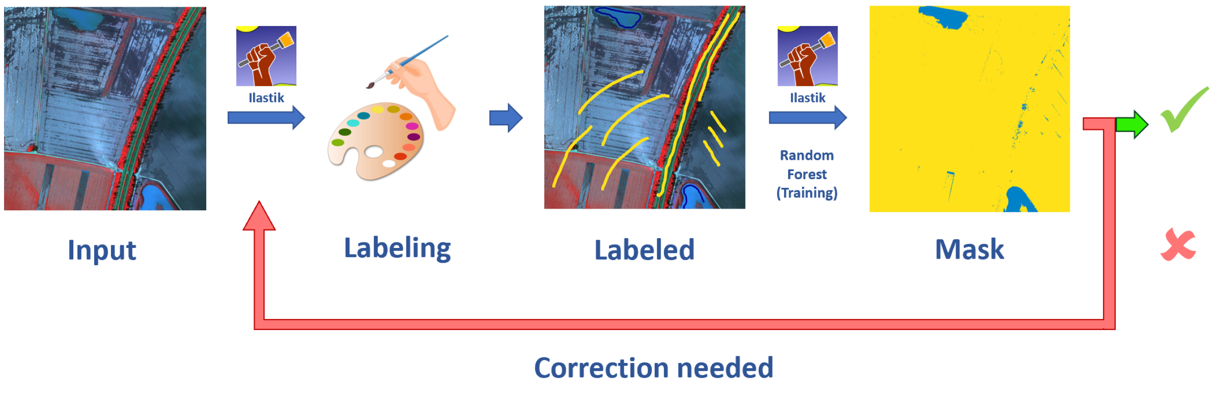
BlessemFlood21: Advancing Flood Analysis with a High-Resolution Georeferenced Dataset for Humanitarian Aid Support
Vladyslav Polushko, Alexander Jenal, Jens Bongartz, Immanuel Weber, Damjan Hatic, Ronald Rosch, Thomas Marz, Markus Rauhut, Andreas Weinmann
Floods are an increasingly common global threat, causing emergencies and severe damage to infrastructure. During crises, organisations such as the World Food Programme use remotely sensed imagery, typically obtained through drones, for rapid situational analysis to plan life-saving actions. Computer Vision tools are needed to support task force experts on-site in the evaluation of the imagery to improve their efficiency and to allocate resources strategically. We introduce the BlessemFlood21 dataset to stimulate research on efficient flood detection tools. The imagery was acquired during the 2021 Erftstadt-Blessem flooding event and consists of high-resolution and georeferenced RGB-NIR images. In the resulting RGB dataset, the images are supplemented with detailed water masks, obtained via a semi-supervised human-in-the-loop technique, where in particular the NIR information is leveraged to classify pixels as either water or non-water. We evaluate our dataset by training and testing established Deep Learning models for semantic segmentation. With BlessemFlood21 we provide labeled high-resolution RGB data and a baseline for further development of algorithmic solutions tailored to flood detection in RGB imagery.
Read more7/9/2024