An Urban Water Extraction Method Combining Deep Learning and Google Earth Engine

0
⛏️
Sign in to get full access
Overview
- Proposed a new method to extract urban water from Landsat images using Google Earth Engine (GEE) and a multiscale convolutional neural network (MSCNN)
- Called the method "offline training and online prediction" (OTOP)
- OTOP can leverage the strengths of both GEE and CNN for efficient and accurate urban water mapping
Plain English Explanation
Urban water is crucial for managing and planning cities. Accurately and efficiently detecting urban water using satellite images is very important. The researchers developed a new way to do this by combining two powerful technologies - Google Earth Engine (GEE) and a type of deep learning model called a multiscale convolutional neural network (MSCNN).
The key idea is to first train the MSCNN model offline, then use the trained model on GEE to extract urban water from Landsat satellite images. This "offline training and online prediction" (OTOP) approach allows them to take advantage of GEE's cloud-based processing power and the strong performance of the MSCNN model.
GEE makes it easy to access and process satellite data without having to download and store it locally. The MSCNN model is designed to accurately identify different types of urban water features, like lakes, rivers, and reservoirs. By combining these two technologies, the researchers can efficiently monitor urban water over large areas and long time periods, which is important for understanding urbanization trends.
Technical Explanation
The researchers developed the OTOP method to extract urban water from Landsat satellite imagery. First, they trained the MSCNN model offline using a dataset of Landsat images and corresponding urban water labels. MSCNN is a type of deep learning model that can capture features at multiple scales to accurately delineate different water bodies.
Once the MSCNN model was trained, the researchers deployed it on the Google Earth Engine (GEE) platform. GEE provides cloud-based processing power and easy access to a massive catalog of satellite imagery. The researchers used the trained MSCNN model on GEE to efficiently process Landsat data and map urban water, without having to download and store the imagery locally.
The OTOP approach allows the strengths of both GEE and MSCNN to be leveraged. GEE enables large-scale, high-performance processing of satellite data, while the MSCNN model provides advanced computer vision capabilities for accurately extracting urban water features.
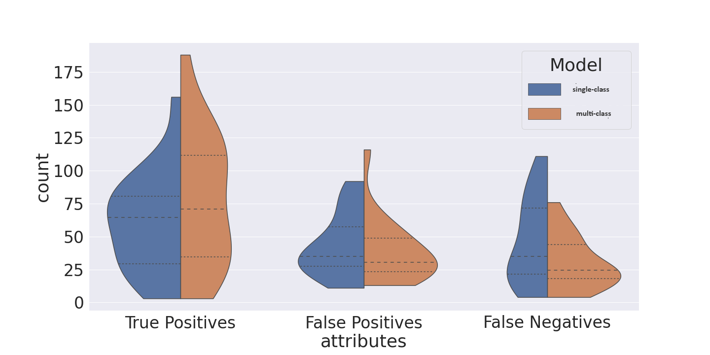
The researchers evaluated the OTOP method in several major Chinese cities, finding that it outperformed traditional water indices (like MNDWI) as well as random forest classifiers. The mean kappa, F1-score, and intersection over union (IoU) for urban water extraction were 0.924, 0.930, and 0.869 respectively.
Critical Analysis
The OTOP method presented in this paper offers a promising approach for large-scale, long-term monitoring of urban water using satellite imagery. By combining the strengths of GEE and deep learning, the researchers have demonstrated a workflow that is both efficient and accurate.
However, as with any water mapping approach, there are some limitations and challenges to consider. For example, the accuracy of the MSCNN model may be influenced by factors like water turbidity, vegetation, and shadows. Additionally, the model was trained and validated on a limited set of cities, so its generalizability to other regions remains to be seen.
Further research could explore ways to make the OTOP method more robust, such as by incorporating additional data sources (e.g., elevation data) to enhance water body detection. There may also be opportunities to integrate the OTOP workflow with other urban monitoring and planning tools to provide a more comprehensive understanding of the urban environment.
Conclusion
The OTOP method proposed in this paper represents an innovative approach to extracting urban water features from satellite imagery. By leveraging the cloud-based processing power of Google Earth Engine and the advanced computer vision capabilities of a multiscale convolutional neural network, the researchers have demonstrated a flexible and high-performing workflow for urban water mapping.
This research has important implications for urban management and planning, as accurate and up-to-date information on water bodies is crucial for a wide range of applications, from flood risk assessment to ecosystem conservation. The OTOP method's ability to efficiently process large volumes of satellite data over time makes it a valuable tool for monitoring urbanization trends and supporting sustainable urban development.
This summary was produced with help from an AI and may contain inaccuracies - check out the links to read the original source documents!
Related Papers
⛏️
0
An Urban Water Extraction Method Combining Deep Learning and Google Earth Engine
Yudie Wang, Zhiwei Li, Chao Zeng, Gui-Song Xia, Huanfeng Shen
Urban water is important for the urban ecosystem. Accurate and efficient detection of urban water with remote sensing data is of great significance for urban management and planning. In this paper, we proposed a new method to combine Google Earth Engine (GEE) with multiscale convolutional neural network (MSCNN) to extract urban water from Landsat images, which is summarized as offline training and online prediction (OTOP). That is, the training of MSCNN was completed offline, and the process of urban water extraction was implemented on GEE with the trained parameters of MSCNN. The OTOP can give full play to the respective advantages of GEE and CNN, and make the use of deep learning method on GEE more flexible. It can process available satellite images with high performance without data download and storage, and the overall performance of urban water extraction is also higher than that of the modified normalized difference water index (MNDWI) and random forest. The mean kappa, F1-score and intersection over union (IoU) of urban water extraction with the OTOP in Changchun, Wuhan, Kunming and Guangzhou reached 0.924, 0.930 and 0.869, respectively. The results of the extended validation in the other major cities of China also show that the OTOP is robust and can be used to extract different types of urban water, which benefits from the structural design and training of the MSCNN. Therefore, the OTOP is especially suitable for the study of large-scale and long-term urban water change detection in the background of urbanization.
Read more5/21/2024
0
Automated National Urban Map Extraction
Hasan Nasrallah, Abed Ellatif Samhat, Cristiano Nattero, Ali J. Ghandour
Developing countries usually lack the proper governance means to generate and regularly update a national rooftop map. Using traditional photogrammetry and surveying methods to produce a building map at the federal level is costly and time consuming. Using earth observation and deep learning methods, we can bridge this gap and propose an automated pipeline to fetch such national urban maps. This paper aims to exploit the power of fully convolutional neural networks for multi-class buildings' instance segmentation to leverage high object-wise accuracy results. Buildings' instance segmentation from sub-meter high-resolution satellite images can be achieved with relatively high pixel-wise metric scores. We detail all engineering steps to replicate this work and ensure highly accurate results in dense and slum areas witnessed in regions that lack proper urban planning in the Global South. We applied a case study of the proposed pipeline to Lebanon and successfully produced the first comprehensive national building footprint map with approximately 1 Million units with an 84% accuracy. The proposed architecture relies on advanced augmentation techniques to overcome dataset scarcity, which is often the case in developing countries.
Read more5/6/2024

0
Improving Water Quality Time-Series Prediction in Hong Kong using Sentinel-2 MSI Data and Google Earth Engine Cloud Computing
Rohin Sood, Kevin Zhu
Effective water quality monitoring in coastal regions is crucial due to the progressive deterioration caused by pollution and human activities. To address this, this study develops time-series models to predict chlorophyll-a (Chl-a), suspended solids (SS), and turbidity using Sentinel-2 satellite data and Google Earth Engine (GEE) in the coastal regions of Hong Kong. Leveraging Long Short-Term Memory (LSTM) Recurrent Neural Networks, the study incorporates extensive temporal datasets to enhance prediction accuracy. The models utilize spectral data from Sentinel-2, focusing on optically active components, and demonstrate that selected variables closely align with the spectral characteristics of Chl-a and SS. The results indicate improved predictive performance over previous methods, highlighting the potential for remote sensing technology in continuous and comprehensive water quality assessment.
Read more8/28/2024

0
GET-UP: GEomeTric-aware Depth Estimation with Radar Points UPsampling
Huawei Sun, Zixu Wang, Hao Feng, Julius Ott, Lorenzo Servadei, Robert Wille
Depth estimation plays a pivotal role in autonomous driving, facilitating a comprehensive understanding of the vehicle's 3D surroundings. Radar, with its robustness to adverse weather conditions and capability to measure distances, has drawn significant interest for radar-camera depth estimation. However, existing algorithms process the inherently noisy and sparse radar data by projecting 3D points onto the image plane for pixel-level feature extraction, overlooking the valuable geometric information contained within the radar point cloud. To address this gap, we propose GET-UP, leveraging attention-enhanced Graph Neural Networks (GNN) to exchange and aggregate both 2D and 3D information from radar data. This approach effectively enriches the feature representation by incorporating spatial relationships compared to traditional methods that rely only on 2D feature extraction. Furthermore, we incorporate a point cloud upsampling task to densify the radar point cloud, rectify point positions, and derive additional 3D features under the guidance of lidar data. Finally, we fuse radar and camera features during the decoding phase for depth estimation. We benchmark our proposed GET-UP on the nuScenes dataset, achieving state-of-the-art performance with a 15.3% and 14.7% improvement in MAE and RMSE over the previously best-performing model. Code: https://github.com/harborsarah/GET-UP
Read more9/11/2024