Bird's-Eye View to Street-View: A Survey
2405.08961

0
0

Abstract
In recent years, street view imagery has grown to become one of the most important sources of geospatial data collection and urban analytics, which facilitates generating meaningful insights and assisting in decision-making. Synthesizing a street-view image from its corresponding satellite image is a challenging task due to the significant differences in appearance and viewpoint between the two domains. In this study, we screened 20 recent research papers to provide a thorough review of the state-of-the-art of how street-view images are synthesized from their corresponding satellite counterparts. The main findings are: (i) novel deep learning techniques are required for synthesizing more realistic and accurate street-view images; (ii) more datasets need to be collected for public usage; and (iii) more specific evaluation metrics need to be investigated for evaluating the generated images appropriately. We conclude that, due to applying outdated deep learning techniques, the recent literature failed to generate detailed and diverse street-view images.
Create account to get full access
Overview
- This paper presents a comprehensive survey of methods for converting bird's-eye view (aerial) images to street-level (ground-level) images, a task known as "bird's-eye view to street-view".
- The survey covers a wide range of techniques, including generating synthetic satellite imagery using deep learning and text, leveraging street-level imaging to enhance satellite-based applications, and novel approaches to satellite photogrammetry.
- The paper also discusses the challenges and potential applications of these methods, such as urban planning, navigation, and disaster response.
Plain English Explanation
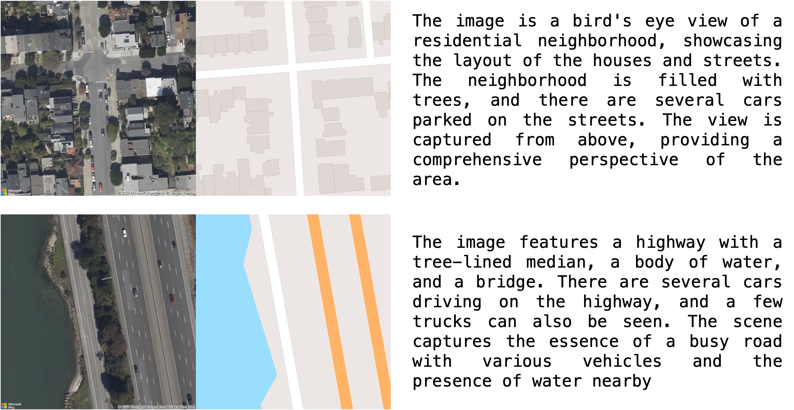
The paper looks at different ways to convert aerial (bird's-eye view) images, like those taken from satellites or drones, into ground-level (street-view) images. This is a useful task for things like urban planning, navigation, and disaster response, where you might want to get a street-level view of an area based on aerial imagery.
The researchers review a variety of techniques for doing this conversion, including using deep learning and text to generate synthetic satellite imagery, leveraging street-level imaging to enhance satellite-based applications, and new approaches to satellite photogrammetry.
These methods can be helpful in situations where it's difficult or expensive to get ground-level images, like in remote or disaster-affected areas. By converting aerial images to street-level views, you can get a more detailed understanding of an area without having to physically go there.
Technical Explanation
The paper reviews a variety of techniques for converting bird's-eye view (aerial) images to street-level (ground-level) images, a task known as "bird's-eye view to street-view".
One approach discussed is generating synthetic satellite imagery using deep learning and text. This involves training machine learning models to generate realistic satellite images based on textual descriptions, which can then be converted to street-level views.
Another method covered is leveraging street-level imaging to enhance satellite-based applications. By combining information from both aerial and ground-level images, researchers can create more detailed and accurate models of urban environments.
The paper also examines novel approaches to satellite photogrammetry, which use advanced techniques like structure-from-motion to extract 3D information from satellite imagery and generate street-level views.
Overall, the survey provides a comprehensive overview of the state-of-the-art in bird's-eye view to street-view conversion, highlighting the various techniques, challenges, and potential applications of this important task.
Critical Analysis
The paper provides a thorough review of the current state of bird's-eye view to street-view conversion methods, but it does acknowledge some limitations and areas for future research.
One key limitation mentioned is the difficulty of accurately modeling complex urban environments, especially in the presence of occlusions, shadows, and other real-world challenges. The authors note that further advances in areas like deep learning and sensor fusion will be needed to address these issues.
Additionally, the paper highlights the need for more comprehensive evaluation datasets and benchmarks to properly assess the performance of different conversion techniques. The OpenStreetView dataset is mentioned as a step in this direction, but the authors suggest that more diverse and representative datasets will be required.
Another potential concern is the privacy and security implications of these technologies, as the ability to accurately convert aerial imagery to street-level views could raise concerns about surveillance and monitoring. The paper does not delve deeply into these ethical considerations, which would be an important area for future research.
Overall, the paper provides a valuable overview of the state of the art, but further work is needed to address the technical and ethical challenges associated with bird's-eye view to street-view conversion.
Conclusion
This comprehensive survey paper examines the current methods for converting bird's-eye view (aerial) images to street-level (ground-level) views, a task known as "bird's-eye view to street-view". The researchers review a range of techniques, including generating synthetic satellite imagery using deep learning and text, leveraging street-level imaging to enhance satellite-based applications, and novel approaches to satellite photogrammetry.
These methods have a variety of potential applications, such as urban planning, navigation, and disaster response, where detailed ground-level information is valuable but difficult or expensive to obtain. However, the paper also discusses the technical challenges and ethical considerations associated with these technologies, highlighting the need for further research and development.
Overall, the survey provides a valuable resource for understanding the current state of bird's-eye view to street-view conversion and the ongoing efforts to advance this important field of study.
This summary was produced with help from an AI and may contain inaccuracies - check out the links to read the original source documents!
Related Papers

A citizen science toolkit to collect human perceptions of urban environments using open street view images
Matthew Danish, SM Labib, Britta Ricker, Marco Helbich

0
0
Street View Imagery (SVI) is a valuable data source for studies (e.g., environmental assessments, green space identification or land cover classification). While commercial SVI is available, such providers commonly restrict copying or reuse in ways necessary for research. Open SVI datasets are readily available from less restrictive sources, such as Mapillary, but due to the heterogeneity of the images, these require substantial preprocessing, filtering, and careful quality checks. We present an efficient method for automated downloading, processing, cropping, and filtering open SVI, to be used in a survey of human perceptions of the streets portrayed in these images. We demonstrate our open-source reusable SVI preparation and smartphone-friendly perception-survey software with Amsterdam (Netherlands) as the case study. Using a citizen science approach, we collected from 331 people 22,637 ratings about their perceptions for various criteria. We have published our software in a public repository for future re-use and reproducibility.
6/4/2024

GeoSynth: Contextually-Aware High-Resolution Satellite Image Synthesis
Srikumar Sastry, Subash Khanal, Aayush Dhakal, Nathan Jacobs

0
0
We present GeoSynth, a model for synthesizing satellite images with global style and image-driven layout control. The global style control is via textual prompts or geographic location. These enable the specification of scene semantics or regional appearance respectively, and can be used together. We train our model on a large dataset of paired satellite imagery, with automatically generated captions, and OpenStreetMap data. We evaluate various combinations of control inputs, including different types of layout controls. Results demonstrate that our model can generate diverse, high-quality images and exhibits excellent zero-shot generalization. The code and model checkpoints are available at https://github.com/mvrl/GeoSynth.
4/11/2024

Generating Synthetic Satellite Imagery With Deep-Learning Text-to-Image Models -- Technical Challenges and Implications for Monitoring and Verification
Tuong Vy Nguyen, Alexander Glaser, Felix Biessmann

0
0
Novel deep-learning (DL) architectures have reached a level where they can generate digital media, including photorealistic images, that are difficult to distinguish from real data. These technologies have already been used to generate training data for Machine Learning (ML) models, and large text-to-image models like DALL-E 2, Imagen, and Stable Diffusion are achieving remarkable results in realistic high-resolution image generation. Given these developments, issues of data authentication in monitoring and verification deserve a careful and systematic analysis: How realistic are synthetic images? How easily can they be generated? How useful are they for ML researchers, and what is their potential for Open Science? In this work, we use novel DL models to explore how synthetic satellite images can be created using conditioning mechanisms. We investigate the challenges of synthetic satellite image generation and evaluate the results based on authenticity and state-of-the-art metrics. Furthermore, we investigate how synthetic data can alleviate the lack of data in the context of ML methods for remote-sensing. Finally we discuss implications of synthetic satellite imagery in the context of monitoring and verification.
4/12/2024
✨
OpenStreetView-5M: The Many Roads to Global Visual Geolocation
Guillaume Astruc, Nicolas Dufour, Ioannis Siglidis, Constantin Aronssohn, Nacim Bouia, Stephanie Fu, Romain Loiseau, Van Nguyen Nguyen, Charles Raude, Elliot Vincent, Lintao XU, Hongyu Zhou, Loic Landrieu

0
0
Determining the location of an image anywhere on Earth is a complex visual task, which makes it particularly relevant for evaluating computer vision algorithms. Yet, the absence of standard, large-scale, open-access datasets with reliably localizable images has limited its potential. To address this issue, we introduce OpenStreetView-5M, a large-scale, open-access dataset comprising over 5.1 million geo-referenced street view images, covering 225 countries and territories. In contrast to existing benchmarks, we enforce a strict train/test separation, allowing us to evaluate the relevance of learned geographical features beyond mere memorization. To demonstrate the utility of our dataset, we conduct an extensive benchmark of various state-of-the-art image encoders, spatial representations, and training strategies. All associated codes and models can be found at https://github.com/gastruc/osv5m.
4/30/2024