Geospatial foundation models for image analysis: evaluating and enhancing NASA-IBM Prithvi's domain adaptability

0
🖼️
Sign in to get full access
Overview
- Geospatial foundation models (GFMs) are a new trend in geospatial AI research, aiming to achieve high generalizability and domain adaptability.
- Unlike large language models, constructing visual foundation models for image analysis, particularly in remote sensing, has faced significant challenges.
- This paper evaluates the NASA-IBM GFM Prithvi for its performance on high-level image analysis tasks across multiple benchmark datasets.
- The researchers introduce new strategies, including band adaptation, multi-scale feature generation, and fine-tuning techniques, to enhance Prithvi's domain adaptation capability and improve model performance.
Plain English Explanation
The paper discusses geospatial foundation models (GFMs), which are a new type of AI model used for analyzing satellite and other geospatial imagery. Unlike large language models like ChatGPT, building visual foundation models for image analysis in fields like remote sensing has proven challenging.
The researchers evaluated a specific GFM called Prithvi, which was developed by NASA and IBM and is one of the first open-source GFMs trained on high-resolution, time-series remote sensing data. They designed experiments to test how well Prithvi performs on various geospatial image analysis tasks, compared to other pre-trained AI models.
To improve Prithvi's performance, the researchers introduced new techniques, such as adapting the input image bands, generating features at multiple scales, and fine-tuning the model. These strategies were intended to help Prithvi better adapt to different geospatial datasets and tasks.
The paper provides insights into Prithvi's strengths and weaknesses, which can inform efforts to further develop and improve Prithvi as well as guide the creation of future GFMs for geospatial applications.
Technical Explanation
The paper evaluates the performance of the NASA-IBM geospatial foundation model (GFM) Prithvi on a range of high-level image analysis tasks across multiple benchmark datasets.
The researchers designed a series of experiments to assess Prithvi's predictive performance compared to other pre-trained, task-specific AI models commonly used in geospatial image analysis. To enhance Prithvi's domain adaptation capabilities and improve its performance, the researchers introduced new strategies, including:
- Band Adaptation: Adjusting the input image bands to better match the target dataset's characteristics.
- Multi-Scale Feature Generation: Extracting features at multiple spatial scales to capture diverse image information.
- Fine-Tuning: Further training Prithvi on the target dataset to specialize its performance for specific tasks.
The in-depth analyses revealed both the strengths and weaknesses of Prithvi, providing insights that can inform efforts to improve this GFM as well as guide the development of future visual foundation models for geospatial applications.
Critical Analysis
The paper provides a comprehensive evaluation of the Prithvi GFM, highlighting its potential as well as areas for improvement. While the researchers introduced novel techniques to enhance Prithvi's domain adaptation capabilities, the paper acknowledges that further research is needed to fully understand the suitability and limitations of GFMs for various geospatial tasks.
One potential limitation not addressed in the paper is the scalability of the proposed techniques, particularly the fine-tuning approach, which may be computationally intensive when working with large-scale geospatial datasets. Additionally, the paper does not discuss the generalizability of the findings beyond the specific benchmark datasets used in the experiments.
Future research could explore alternative strategies for adapting GFMs to different geospatial domains, such as unsupervised or semi-supervised techniques, which may be more efficient and scalable. Investigating the interpretability and explainability of GFM-based geospatial analysis could also be a valuable avenue for further study.
Conclusion
This paper presents a significant step forward in the evaluation and development of geospatial foundation models (GFMs), a rapidly emerging field in geospatial AI research. The in-depth analysis of the Prithvi GFM's performance on various image analysis tasks provides valuable insights that can guide the improvement of this model and the creation of future GFMs for geospatial applications.
The novel techniques introduced in the paper, such as band adaptation, multi-scale feature generation, and fine-tuning, demonstrate the potential for enhancing the domain adaptation capabilities of GFMs. As the field of geospatial AI continues to evolve, the lessons learned from this research will be instrumental in shaping the development of even more powerful and versatile foundation models for analyzing and understanding our world through the lens of geospatial data.
This summary was produced with help from an AI and may contain inaccuracies - check out the links to read the original source documents!
Related Papers
🖼️
0
Geospatial foundation models for image analysis: evaluating and enhancing NASA-IBM Prithvi's domain adaptability
Chia-Yu Hsu, Wenwen Li, Sizhe Wang
Research on geospatial foundation models (GFMs) has become a trending topic in geospatial artificial intelligence (AI) research due to their potential for achieving high generalizability and domain adaptability, reducing model training costs for individual researchers. Unlike large language models, such as ChatGPT, constructing visual foundation models for image analysis, particularly in remote sensing, encountered significant challenges such as formulating diverse vision tasks into a general problem framework. This paper evaluates the recently released NASA-IBM GFM Prithvi for its predictive performance on high-level image analysis tasks across multiple benchmark datasets. Prithvi was selected because it is one of the first open-source GFMs trained on time-series of high-resolution remote sensing imagery. A series of experiments were designed to assess Prithvi's performance as compared to other pre-trained task-specific AI models in geospatial image analysis. New strategies, including band adaptation, multi-scale feature generation, and fine-tuning techniques, are introduced and integrated into an image analysis pipeline to enhance Prithvi's domain adaptation capability and improve model performance. In-depth analyses reveal Prithvi's strengths and weaknesses, offering insights for both improving Prithvi and developing future visual foundation models for geospatial tasks.
Read more9/4/2024
🛸
0
When Geoscience Meets Foundation Models: Towards General Geoscience Artificial Intelligence System
Hao Zhang, Jin-Jian Xu, Hong-Wei Cui, Lin Li, Yaowen Yang, Chao-Sheng Tang, Niklas Boers
Artificial intelligence (AI) has significantly advanced Earth sciences, yet its full potential in to comprehensively modeling Earth's complex dynamics remains unrealized. Geoscience foundation models (GFMs) emerge as a paradigm-shifting solution, integrating extensive cross-disciplinary data to enhance the simulation and understanding of Earth system dynamics. These data-centric AI models extract insights from petabytes of structured and unstructured data, effectively addressing the complexities of Earth systems that traditional models struggle to capture. The unique strengths of GFMs include flexible task specification, diverse input-output capabilities, and multi-modal knowledge representation, enabling analyses that surpass those of individual data sources or traditional AI methods. This review not only highlights the key advantages of GFMs, but also presents essential techniques for their construction, with a focus on transformers, pre-training, and adaptation strategies. Subsequently, we examine recent advancements in GFMs, including large language models, vision models, and vision-language models, particularly emphasizing the potential applications in remote sensing. Additionally, the review concludes with a comprehensive analysis of the challenges and future trends in GFMs, addressing five critical aspects: data integration, model complexity, uncertainty quantification, interdisciplinary collaboration, and concerns related to privacy, trust, and security. This review offers a comprehensive overview of emerging geoscientific research paradigms, emphasizing the untapped opportunities at the intersection of advanced AI techniques and geoscience. It examines major methodologies, showcases advances in large-scale models, and discusses the challenges and prospects that will shape the future landscape of GFMs.
Read more9/11/2024
0
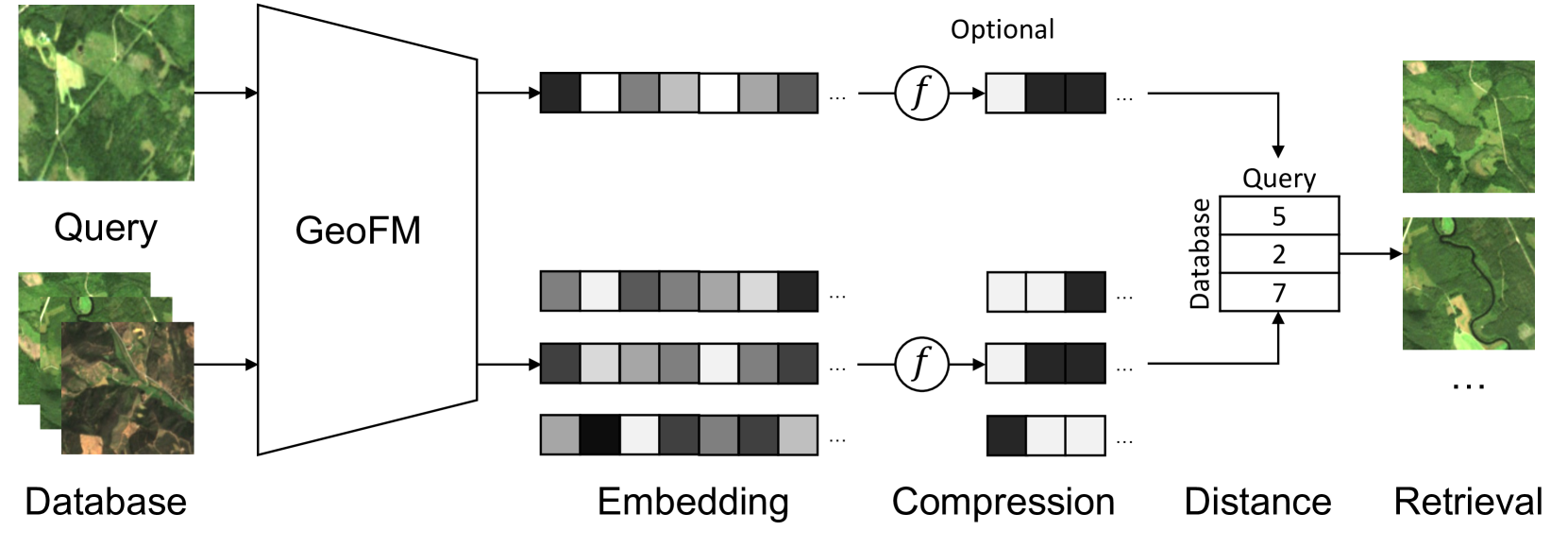
Multi-Spectral Remote Sensing Image Retrieval Using Geospatial Foundation Models
Benedikt Blumenstiel, Viktoria Moor, Romeo Kienzler, Thomas Brunschwiler
Image retrieval enables an efficient search through vast amounts of satellite imagery and returns similar images to a query. Deep learning models can identify images across various semantic concepts without the need for annotations. This work proposes to use Geospatial Foundation Models, like Prithvi, for remote sensing image retrieval with multiple benefits: i) the models encode multi-spectral satellite data and ii) generalize without further fine-tuning. We introduce two datasets to the retrieval task and observe a strong performance: Prithvi processes six bands and achieves a mean Average Precision of 97.62% on BigEarthNet-43 and 44.51% on ForestNet-12, outperforming other RGB-based models. Further, we evaluate three compression methods with binarized embeddings balancing retrieval speed and accuracy. They match the retrieval speed of much shorter hash codes while maintaining the same accuracy as floating-point embeddings but with a 32-fold compression. The code is available at https://github.com/IBM/remote-sensing-image-retrieval.
Read more5/24/2024

0
Cross-Domain Foundation Model Adaptation: Pioneering Computer Vision Models for Geophysical Data Analysis
Zhixiang Guo, Xinming Wu, Luming Liang, Hanlin Sheng, Nuo Chen, Zhengfa Bi
We explore adapting foundation models (FMs) from the computer vision domain to geoscience. FMs, large neural networks trained on massive datasets, excel in diverse tasks with remarkable adaptability and generality. However, geoscience faces challenges like lacking curated training datasets and high computational costs for developing specialized FMs. This study considers adapting FMs from computer vision to geoscience, analyzing their scale, adaptability, and generality for geoscientific data analysis. We introduce a workflow that leverages existing computer vision FMs, fine-tuning them for geoscientific tasks, reducing development costs while enhancing accuracy. Through experiments, we demonstrate this workflow's effectiveness in broad applications to process and interpret geoscientific data of lunar images, seismic data, DAS arrays and so on. Our findings introduce advanced ML techniques to geoscience, proving the feasibility and advantages of cross-domain FMs adaptation, driving further advancements in geoscientific data analysis and offering valuable insights for FMs applications in other scientific domains.
Read more8/23/2024