A robust baro-radar-inertial odometry m-estimator for multicopter navigation in cities and forests

0
🖼️
Sign in to get full access
Overview
- Search and rescue operations require mobile robots to navigate unstructured indoor and outdoor environments.
- Actively stabilized multirotor drones need precise movement data to balance and avoid obstacles.
- Combining radial velocities from on-chip radar with MEMS inertial sensing provides robust, lightweight, and consistent state estimation.
- Statistical tests help these estimators handle radar outliers.
- Available work with binary outlier filters lacks adaptability to various hardware setups and environments.
- This work introduces a robust baro-radar-inertial odometry (BRIO) m-estimator for quadcopter flights in GNSS-denied scenarios.
Plain English Explanation
The paper focuses on developing a robust baro-radar-inertial odometry (BRIO) m-estimator for quadcopter drones to navigate in search and rescue operations. These drones need accurate movement data to stay balanced and avoid obstacles, especially in environments where GPS signals are unavailable.
The researchers combined two key technologies to achieve this:
- Radar: The drones use on-chip radar to measure their radial velocities, which helps with positioning.
- Inertial Sensing: They also use micro-electromechanical systems (MEMS) inertial sensors to measure the drone's movements.
By combining these two data sources, the researchers were able to create a lightweight and reliable system for estimating the drone's position and movement, even in visually or geometrically challenging environments. They also used statistical techniques to make the system more robust against outliers or erroneous radar readings.
The researchers tested their BRIO system extensively in real-world scenarios, like flying drones in cities and forests. They found that it maintained consistent performance, with only 0.5% to 3.2% drift in the distance traveled. The system was also validated on public datasets to demonstrate its generalizability.
Technical Explanation
The paper presents a robust baro-radar-inertial odometry (BRIO) m-estimator for quadcopter flights in GNSS-denied scenarios. The key technical elements are:
-
Sensor Fusion: The system combines radial velocities from on-chip radar with MEMS inertial sensing to provide robust, lightweight, and consistent state estimation, even in visually or geometrically degraded environments.
-
Statistical Robustness: The researchers used statistical tests to robustify these estimators against radar outliers, as available work with binary outlier filters lacks adaptability to various hardware setups and environments.
-
Evaluation: The researchers conducted extensive real-world closed-loop flights in cities and forests to demonstrate the system's robustness to moving objects and ghost targets, maintaining a consistent performance with 0.5% to 3.2% drift per distance traveled. They also validated the system's generalizability using public datasets.
Critical Analysis
The paper addresses an important challenge in search and rescue operations, where drones need to navigate in GNSS-denied environments. The researchers' approach of combining radar and inertial sensing is promising and the results demonstrate the system's robustness in real-world scenarios.
However, the paper does not explore the potential limitations of the radar-inertial fusion approach, such as the impact of environmental conditions (e.g., rain, fog) on the radar performance or the system's ability to handle more complex obstacle configurations.
Additionally, the paper does not provide much insight into the trade-offs between different sensor modalities or the specific challenges faced in implementing the system on resource-constrained drone platforms.
Further research could explore these areas and investigate the potential for integrating additional sensors, such as visual or lidar, to enhance the system's versatility and robustness in a wider range of search and rescue scenarios.
Conclusion
The paper introduces a robust baro-radar-inertial odometry (BRIO) m-estimator for quadcopter flights in GNSS-denied environments, which combines radial velocities from on-chip radar with MEMS inertial sensing to provide consistent state estimation. The system's performance was extensively validated in real-world search and rescue scenarios, demonstrating its potential to enable more reliable and autonomous drone navigation in challenging conditions.
This summary was produced with help from an AI and may contain inaccuracies - check out the links to read the original source documents!
Related Papers
🖼️
0
A robust baro-radar-inertial odometry m-estimator for multicopter navigation in cities and forests
Rik Girod, Marco Hauswirth, Patrick Pfreundschuh, Mariano Biasio, Roland Siegwart
Search and rescue operations require mobile robots to navigate unstructured indoor and outdoor environments. In particular, actively stabilized multirotor drones need precise movement data to balance and avoid obstacles. Combining radial velocities from on-chip radar with MEMS inertial sensing has proven to provide robust, lightweight, and consistent state estimation, even in visually or geometrically degraded environments. Statistical tests robustify these estimators against radar outliers. However, available work with binary outlier filters lacks adaptability to various hardware setups and environments. Other work has predominantly been tested in handheld static environments or automotive contexts. This work introduces a robust baro-radar-inertial odometry (BRIO) m-estimator for quadcopter flights in typical GNSS-denied scenarios. Extensive real-world closed-loop flights in cities and forests demonstrate robustness to moving objects and ghost targets, maintaining a consistent performance with 0.5 % to 3.2 % drift per distance traveled. Benchmarks on public datasets validate the system's generalizability. The code, dataset, and video are available at https://github.com/ethz-asl/rio.
Read more8/13/2024
📶
0
Advancements in Radar Odometry
Matteo Frosi, Mirko Usuelli, Matteo Matteucci
Radar odometry estimation has emerged as a critical technique in the field of autonomous navigation, providing robust and reliable motion estimation under various environmental conditions. Despite its potential, the complex nature of radar signals and the inherent challenges associated with processing these signals have limited the widespread adoption of this technology. This paper aims to address these challenges by proposing novel improvements to an existing method for radar odometry estimation, designed to enhance accuracy and reliability in diverse scenarios. Our pipeline consists of filtering, motion compensation, oriented surface points computation, smoothing, one-to-many radar scan registration, and pose refinement. The developed method enforces local understanding of the scene, by adding additional information through smoothing techniques, and alignment of consecutive scans, as a refinement posterior to the one-to-many registration. We present an in-depth investigation of the contribution of each improvement to the localization accuracy, and we benchmark our system on the sequences of the main datasets for radar understanding, i.e., the Oxford Radar RobotCar, MulRan, and Boreas datasets. The proposed pipeline is able to achieve superior results, on all scenarios considered and under harsh environmental constraints.
Read more4/8/2024

0
DeRO: Dead Reckoning Based on Radar Odometry With Accelerometers Aided for Robot Localization
Hoang Viet Do, Yong Hun Kim, Joo Han Lee, Min Ho Lee, Jin Woo Song
In this paper, we propose a radar odometry structure that directly utilizes radar velocity measurements for dead reckoning while maintaining its ability to update estimations within the Kalman filter framework. Specifically, we employ the Doppler velocity obtained by a 4D Frequency Modulated Continuous Wave (FMCW) radar in conjunction with gyroscope data to calculate poses. This approach helps mitigate high drift resulting from accelerometer biases and double integration. Instead, tilt angles measured by gravitational force are utilized alongside relative distance measurements from radar scan matching for the filter's measurement update. Additionally, to further enhance the system's accuracy, we estimate and compensate for the radar velocity scale factor. The performance of the proposed method is verified through five real-world open-source datasets. The results demonstrate that our approach reduces position error by 62% and rotation error by 66% on average compared to the state-of-the-art radar-inertial fusion method in terms of absolute trajectory error.
Read more9/14/2024
0
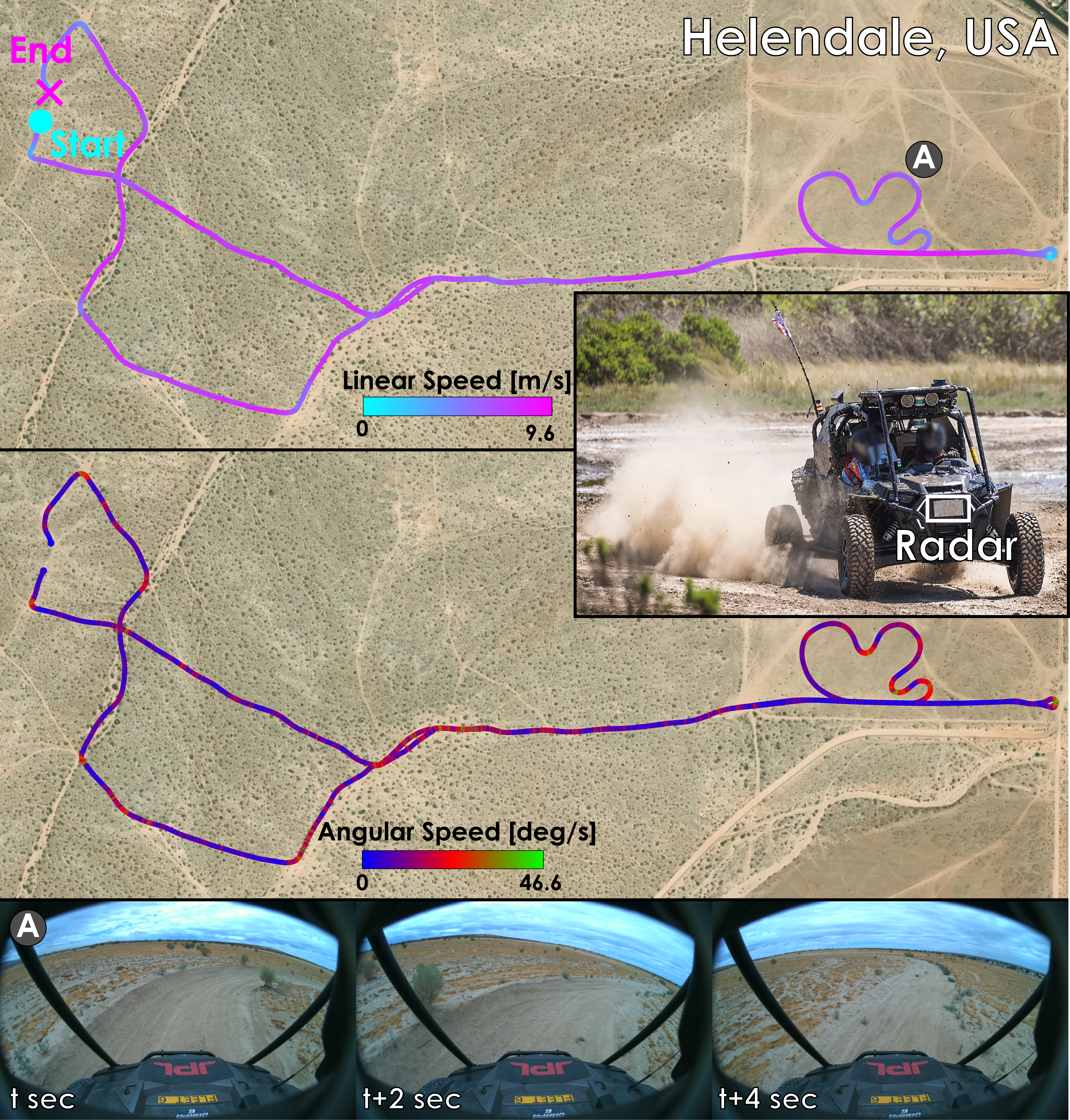
New!Robust High-Speed State Estimation for Off-road Navigation using Radar Velocity Factors
Morten Nissov, Jeffrey A. Edlund, Patrick Spieler, Curtis Padgett, Kostas Alexis, Shehryar Khattak
Enabling robot autonomy in complex environments for mission critical application requires robust state estimation. Particularly under conditions where the exteroceptive sensors, which the navigation depends on, can be degraded by environmental challenges thus, leading to mission failure. It is precisely in such challenges where the potential for FMCW radar sensors is highlighted: as a complementary exteroceptive sensing modality with direct velocity measuring capabilities. In this work we integrate radial speed measurements from a FMCW radar sensor, using a radial speed factor, to provide linear velocity updates into a sliding-window state estimator for fusion with LiDAR pose and IMU measurements. We demonstrate that this augmentation increases the robustness of the state estimator to challenging conditions present in the environment and the negative effects they can pose to vulnerable exteroceptive modalities. The proposed method is extensively evaluated using robotic field experiments conducted using an autonomous, full-scale, off-road vehicle operating at high-speeds (~12 m/s) in complex desert environments. Furthermore, the robustness of the approach is demonstrated for cases of both simulated and real-world degradation of the LiDAR odometry performance along with comparison against state-of-the-art methods for radar-inertial odometry on public datasets.
Read more9/18/2024