Vehicle Vectors and Traffic Patterns from Planet Imagery
2406.06320
0
0
Abstract
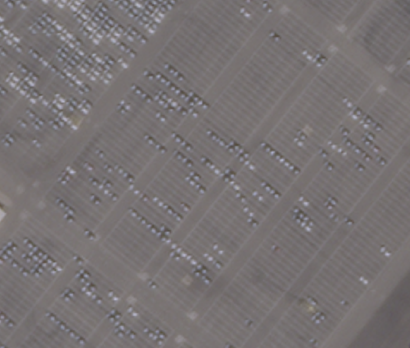
We explore methods to detect automobiles in Planet imagery and build a large scale vector field for moving objects. Planet operates two distinct constellations: high-resolution SkySat satellites as well as medium-resolution SuperDove satellites. We show that both static and moving cars can be identified reliably in high-resolution SkySat imagery. We are able to estimate the speed and heading of moving vehicles by leveraging the inter-band displacement (or rainbow effect) of moving objects. Identifying cars and trucks in medium-resolution SuperDove imagery is far more difficult, though a similar rainbow effect is observed in these satellites and enables moving vehicles to be detected and vectorized. The frequent revisit of Planet satellites enables the categorization of automobile and truck activity patterns over broad areas of interest and lengthy timeframes.
Create account to get full access
Overview
- This paper presents a method for extracting vehicle vectors and traffic patterns from high-resolution satellite imagery provided by Planet, a company that operates a large fleet of Earth-observing satellites.
- The authors demonstrate how their approach can be used to analyze vehicle movement and traffic flow across large geographic areas, with potential applications in transportation planning, traffic monitoring, and autonomous vehicle navigation.
Plain English Explanation
The paper describes a system that can analyze satellite images to track the movement of vehicles and understand traffic patterns over a wide area. The researchers used high-quality imagery from Planet's satellite network to develop algorithms that can detect individual vehicles, measure their speed and direction, and aggregate this information to map out the flow of traffic.
This type of data could be very useful for transportation planning, as it allows planners to understand where congestion occurs, how traffic moves through an area, and where new infrastructure may be needed. It could also support autonomous vehicle navigation by providing detailed, real-time information about road conditions and traffic flow.
Overall, the paper demonstrates how advanced satellite imagery and computer vision techniques can be leveraged to gain valuable insights about transportation networks and vehicle behavior at a large scale.
Technical Explanation
The researchers developed a pipeline to process Planet satellite imagery and extract vehicle vectors and traffic patterns. First, they used an object detection model to identify individual vehicles in the images. They then applied a tracking algorithm to follow the movement of each detected vehicle over time, calculating its speed and direction.
By aggregating the vehicle tracking data across multiple images, the authors were able to map out the overall flow of traffic, identifying congestion points, popular routes, and other meaningful patterns. They validated their approach using ground truth data from traffic sensors and cameras, demonstrating a high degree of accuracy in measuring vehicle speed and trajectory.
The authors also explored ways to leverage this rich vehicle movement data, such as by feeding it into traffic simulation models or using it to enhance autonomous vehicle perception and localization capabilities.
Critical Analysis
The research presented in this paper represents an impressive technical achievement, showcasing how advanced computer vision and remote sensing techniques can be applied to gain valuable insights about transportation networks. The authors' ability to accurately track individual vehicles and measure their movement from satellite imagery is particularly noteworthy.
That said, the paper does not address some important limitations and potential issues with this approach. For example, the reliance on high-resolution Planet imagery means the system may not be scalable or accessible in regions without similar satellite coverage. There are also questions about the privacy implications of using overhead imagery to monitor vehicle movement on a large scale.
Additionally, the paper does not explore the potential biases or blind spots that could arise from using satellite data, which may underrepresent certain types of vehicles, roads, or geographic areas. Further research is needed to understand how these limitations could impact the real-world applicability and fairness of the proposed techniques.
Overall, while this paper makes an important contribution to the field of transportation analytics, there are several areas where the authors could have delved deeper or addressed potential concerns more thoroughly. Readers should think critically about the implications and limitations of this research as it continues to evolve.
Conclusion
This paper presents a novel approach for extracting detailed vehicle movement data from high-resolution satellite imagery, with potential applications in transportation planning, traffic monitoring, and autonomous vehicle navigation. The authors demonstrate how their computer vision-based pipeline can accurately track individual vehicles and map out traffic patterns over large geographic areas.
While this represents an impressive technical achievement, the research also raises important questions about privacy, bias, and scalability that warrant further exploration. As satellite-based transportation analytics continues to advance, it will be crucial to consider the broader societal impacts and ensure these technologies are developed and deployed responsibly.
This summary was produced with help from an AI and may contain inaccuracies - check out the links to read the original source documents!
Related Papers

Detection of Moving Objects in Earth Observation Satellite Images
Eric Keto, Wesley Andres Watters
0
0
Moving objects have characteristic signatures in multi-spectral images made by Earth observation satellites that use push broom scanning. While the general concept is applicable to all satellites of this type, each satellite design has its own unique imaging system and requires unique methods to analyze the characteristic signatures. We assess the feasibility of detecting moving objects and measuring their velocities in one particular archive of satellite images made by Planet Labs Corporation with their constellation of SuperDove satellites. Planet Labs data presents a particular challenge in that the images in the archive are mosaics of individual exposures and therefore do not have unique time stamps. We explain how the timing information can be restored indirectly. Our results indicate that the movement of common transportation vehicles, airplanes, cars, and boats, can be detected and measured.
6/13/2024
📊
Scrutinizing Data from Sky: An Examination of Its Veracity in Area Based Traffic Contexts
Yawar Ali (Indian Institute of Technology Delhi, New Delhi, India), Krishnan K N (Indian Institute of Technology Delhi, New Delhi, India), Debashis Ray Sarkar (Indian Institute of Technology Delhi, New Delhi, India), K. Ramachandra Rao (Indian Institute of Technology Delhi, New Delhi, India), Niladri Chatterjee (Indian Institute of Technology Delhi, New Delhi, India), Ashish Bhaskar (Queensland University of Technology, Brisbane, Australia)
0
0
Traffic data collection has been an overwhelming task for researchers as well as authorities over the years. With the advancement in technology and introduction of various tools for processing and extracting traffic data the task has been made significantly convenient. Data from Sky (DFS) is one such tool, based on image processing and artificial intelligence (AI), that provides output for macroscopic as well as microscopic variables of the traffic streams. The company claims to provide 98 to 100 percent accuracy on the data exported using DFS tool. The tool is widely used in developed countries where the traffic is homogenous and has lane-based movements. In this study, authors have checked the veracity of DFS tool in heterogenous and area-based traffic movement that is prevailing in most developing countries. The validation is done using various methods using Classified Volume Count (CVC), Space Mean Speeds (SMS) of individual vehicle classes and microscopic trajectory of probe vehicle to verify DFS claim. The error for CVCs for each vehicle class present in the traffic stream is estimated. Mean Absolute Percentage Error (MAPE) values are calculated for average speeds of each vehicle class between manually and DFS extracted space mean speeds (SMSs), and the microscopic trajectories are validated using a GPS based tracker put on probe vehicles. The results are fairly accurate in the case of data taken from a bird eye view with least errors. The other configurations of data collection have some significant errors, that are majorly caused by the varied traffic composition, the view of camera angle, and the direction of traffic.
4/29/2024
🌐
Brightearth roads: Towards fully automatic road network extraction from satellite imagery
Liuyun Duan (LCT), Willard Mapurisa (LCT), Maxime Leras (LCT), Leigh Lotter (LCT), Yuliya Tarabalka (LCT)
0
0
The modern road network topology comprises intricately designed structures that introduce complexity when automatically reconstructing road networks. While open resources like OpenStreetMap (OSM) offer road networks with well-defined topology, they may not always be up to date worldwide. In this paper, we propose a fully automated pipeline for extracting road networks from very-high-resolution (VHR) satellite imagery. Our approach directly generates road line-strings that are seamlessly connected and precisely positioned. The process involves three key modules: a CNN-based neural network for road segmentation, a graph optimization algorithm to convert road predictions into vector line-strings, and a machine learning model for classifying road materials. Compared to OSM data, our results demonstrate significant potential for providing the latest road layouts and precise positions of road segments.
6/24/2024

Scalable Radar-based Roadside Perception: Self-localization and Occupancy Heat Map for Traffic Analysis
Longfei Han, Qiuyu Xu, Klaus Kefferputz, Ying Lu, Gordon Elger, Jurgen Beyerer
0
0
4D mmWave radar sensors are suitable for roadside perception in city-scale Intelligent Transportation Systems (ITS) due to their long sensing range, weatherproof functionality, simple mechanical design, and low manufacturing cost. In this work, we investigate radar-based ITS for scalable traffic analysis. Localization of these radar sensors at city scale is a fundamental task in ITS. For flexible sensor setups, it requires even more effort. To address this task, we propose a self-localization approach that matches two descriptions of the road: the one from the geometry of the motion trajectories of cumulatively observed vehicles, and the other one from the aerial laser scan. An Iterative Closest Point (ICP) algorithm is used to register the motion trajectory in the road section of the laser scan. The resulting estimate of the transformation matrix represents the sensor pose in a global reference frame. We evaluate the results and show that it outperforms other map-based radar localization methods, especially for the orientation estimation. Beyond the localization result, we project radar sensor data onto a city-scale laser scan and generate a scalable occupancy heat map as a traffic analysis tool. This is demonstrated using two radar sensors monitoring an urban area in the real world.
4/23/2024